
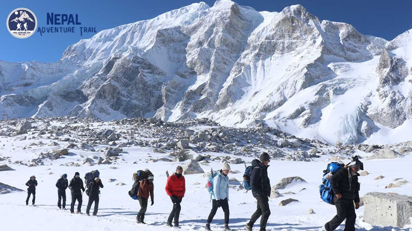
Manaslu circuit trek history is not a footnote to Everest or Annapurna. It is a distinct record of trans-Himalayan commerce, Tibetan Buddhist migration, and geopolitical caution that shaped the Budi Gandaki corridor centuries before trekking permits existed. Understanding this history changes how a trekker reads the trail. A village wall, a chorten placement, a suspension bridge crossing point, these are not scenic backdrops. They are remnants of a working trade economy that predates modern tourism by hundreds of years.
This guide traces that lineage from salt caravans to the 1956 first ascent of Mount Manaslu, through decades of restricted access, and into the teahouse trekking model operating today. The goal is context, not decoration. Every logistical detail on the modern circuit, from checkpoint locations to village spacing, has a historical root.
The Ancient Corridor: Salt, Silk, and Trans-Himalayan Trade
Long before it carried trekkers, the Budi Gandaki valley functioned as a commercial artery linking the Tibetan plateau to the mid-hills of Gorkha. Salt, wool, and livestock moved south. Grain, textiles, and manufactured goods moved north. This exchange defined settlement patterns still visible today.
The history of Manaslu trek routes is essentially the history of this exchange. Villages such as Jagat, Deng, and Namrung were not built for tourism. They were built as staging points for traders who needed shelter, fodder for pack animals, and secure storage before the next stage of a multi-day crossing.
The Budi Gandaki River as a Lifeline
The Budi Gandaki carved the primary route through steep gneiss and schist walls, and its gorge dictated where a path could physically exist. Trail engineers had limited options in this terrain. Where the river narrowed against sheer rock, traders built cantilever bridges and cut ledges directly into cliff faces, techniques still evident in the trail’s current construction between Jagat and Deng.
Seasonal flooding shaped trade timing as much as it now shapes trekking seasons. Caravans moved primarily in the dry months between autumn and spring, avoiding the monsoon swell that could strand travelers for days. Modern trekking itineraries follow nearly identical seasonal logic, a direct continuity between commercial necessity and recreational planning.
Tibetan Influence in Nubri and Tsum Valley History
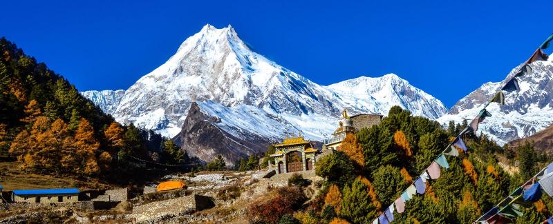
Above Namrung, the ethnic and religious character of the valley shifts sharply toward Tibetan Buddhist tradition. Nubri and Tsum valley history reflects centuries of migration from Tibet, likely accelerating after the 17th century as communities sought both trade access and religious autonomy along this remote frontier.
Monasteries at Mu Gompa and Rachen Gompa anchor Tsum’s identity, and their placement was rarely accidental. Gompas were sited along established travel corridors to serve traders, pilgrims, and local herders simultaneously, functioning as spiritual centers and practical waypoints in a single structure.
The architecture in these upper villages, flat roofs, chorten gateways, mani walls positioned at path entrances, mirrors construction found across the Tibetan plateau rather than lowland Nepal. This is a visible signature of the ancient trade and migration network the trek now follows.
Mountaineering Milestones: Conquering the Peak
While traders had used the lower valley for generations, the mountain itself remained largely unclimbed until the mid-20th century. The first ascent of Mount Manaslu history is a distinctly Japanese chapter within Himalayan mountaineering, arriving during a period when Japan sought to reestablish international climbing credentials after the war.
The 1956 Japanese Expedition and the First Ascent
On May 9, 1956, Toshio Imanishi and Sherpa climber Gyaltsen Norbu reached the 8,163-meter summit, completing a Japanese Alpine Club expedition that had attempted the mountain across two prior seasons. Earlier attempts in 1953 and 1954 had failed due to weather and, notably, local resistance tied to a belief that prior expedition activity had triggered an avalanche that damaged the village of Sama.
This friction matters to the evolution of Manaslu trekking as a whole. It established an early pattern of negotiated access between foreign expeditions and local communities, a dynamic that would later influence how the Nepalese government structured permits and restricted zones across the region.
Manaslu’s summit success made it the eighth peak of the fourteen 8,000-meter mountains to be climbed, cementing Japan’s standing in high-altitude mountaineering and giving the region international visibility years before any trekking route existed.
Navigating the Technical Hurdles of Larkya La Pass
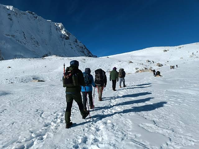
The historical significance of Larkya La Pass extends beyond its role as the trek’s high point at 5,106 meters. For traders, the pass represented the final and most dangerous stage of the circuit, a crossing attempted only in stable weather windows due to its exposure to wind-loaded snow and rapid temperature shifts.
Caravan routes over Larkya La required local knowledge passed through generations, since the pass offers no fixed infrastructure and terrain features shift with each snow season. That same knowledge base, now held by trekking guides and local lodge owners, remains the primary safeguard against the pass’s unpredictable conditions today.
The descent toward Bimthang on the western side drops into Manang district’s cultural sphere, a shift traders would have recognized as clearly as modern trekkers do, moving from Tibetan-influenced Nubri into a valley shaped by different trade and religious patterns entirely.
Geopolitical Isolation and the Evolution of Tourism
Trade and mountaineering both predate organized trekking by decades. Manaslu restricted area background explains why. The region’s proximity to the Tibetan border made it a sensitive zone long after Nepal opened other areas to foreign travelers.
Why the Gorkha District Remained a Restricted Area
Following Nepal’s 1950s opening to international visitors, the government kept border-adjacent districts under tighter control, citing security concerns tied to Tibet following China’s annexation in 1950 and the subsequent 1959 unrest. Gorkha district, with Nubri and Tsum sitting directly against this frontier, fell squarely within that restricted category.
This policy kept the Budi Gandaki corridor largely closed to independent travel through the 1970s and 1980s, even as Everest and Annapurna developed established trekking infrastructure. The result is a valley that preserved its trade-era architecture and social structure with minimal tourism pressure for an additional generation.
The Transition from Expedition-Only to Teahouse Trekking
Nepal opened the Manaslu circuit to organized trekking groups in 1991, but only under a restricted permit system requiring travelers to move in groups with a licensed guide and register through an approved agency. This structure, still largely intact today, is how the Manaslu trail became a trekking route rather than remaining expedition-only terrain reserved for mountaineering teams.
Teahouses developed gradually through the 1990s and 2000s, often converting existing trader rest stops and family homes rather than constructing entirely new tourist infrastructure. This explains why lodge spacing along the route still mirrors old trade-stage distances rather than distances optimized purely for modern trekking comfort.
The Tsum valley extension opened to trekkers even later, in 2008, reflecting its deeper isolation and stronger ties to unbroken Tibetan Buddhist practice relative to the main Manaslu circuit corridor.
FAQ
Why was the trail closed to outsiders for so long?
Security concerns tied to the Tibetan border, combined with the region’s remoteness and lack of infrastructure, kept Gorkha district under restricted status well after other trekking regions opened during the 1960s and 1970s.
How has the trade route transformed into a trekking circuit?
Former trading villages converted their rest stops into teahouses, and the same trail traders used for salt and grain now carries permitted trekking groups, largely unchanged in physical routing through the lower and middle valley.
What is the historical significance of the Tibetan border proximity?
Border proximity shaped both the ethnic composition of Nubri and Tsum, drawing Tibetan Buddhist migration, and the political caution that delayed the region’s opening to foreign trekkers by decades.
Who were the key historical figures in Manaslu mountaineering?
Toshio Imanishi and Gyaltsen Norbu completed the first ascent in 1956 as part of a Japanese Alpine Club expedition, following earlier failed attempts in 1953 and 1954 by the same broader climbing effort.
How did the 2015 earthquake impact the historical structures along the route?
The Gorkha earthquake originated near this region and damaged monasteries, chortens, and traditional homes throughout Nubri and Tsum, prompting rebuilding efforts that in some villages altered centuries-old construction methods.
Do historical permits still reflect old border patrol routes?
Yes, restricted area permit checkpoints largely follow historical border monitoring points established during the mid-20th century security period, rather than being placed arbitrarily along the modern trekking route.
Plan Your Route Through History
Understanding the history of the Manaslu circuit trek adds profound depth to every step you take along the Budi Gandaki. However, navigating the strict permit requirements and historical checkpoints of the Gorkha District requires precise logistical planning. At Nepal Adventure Trail, we respect the heritage of these ancient trails and ensure your journey through this restricted region is seamless, safe, and deeply informed.