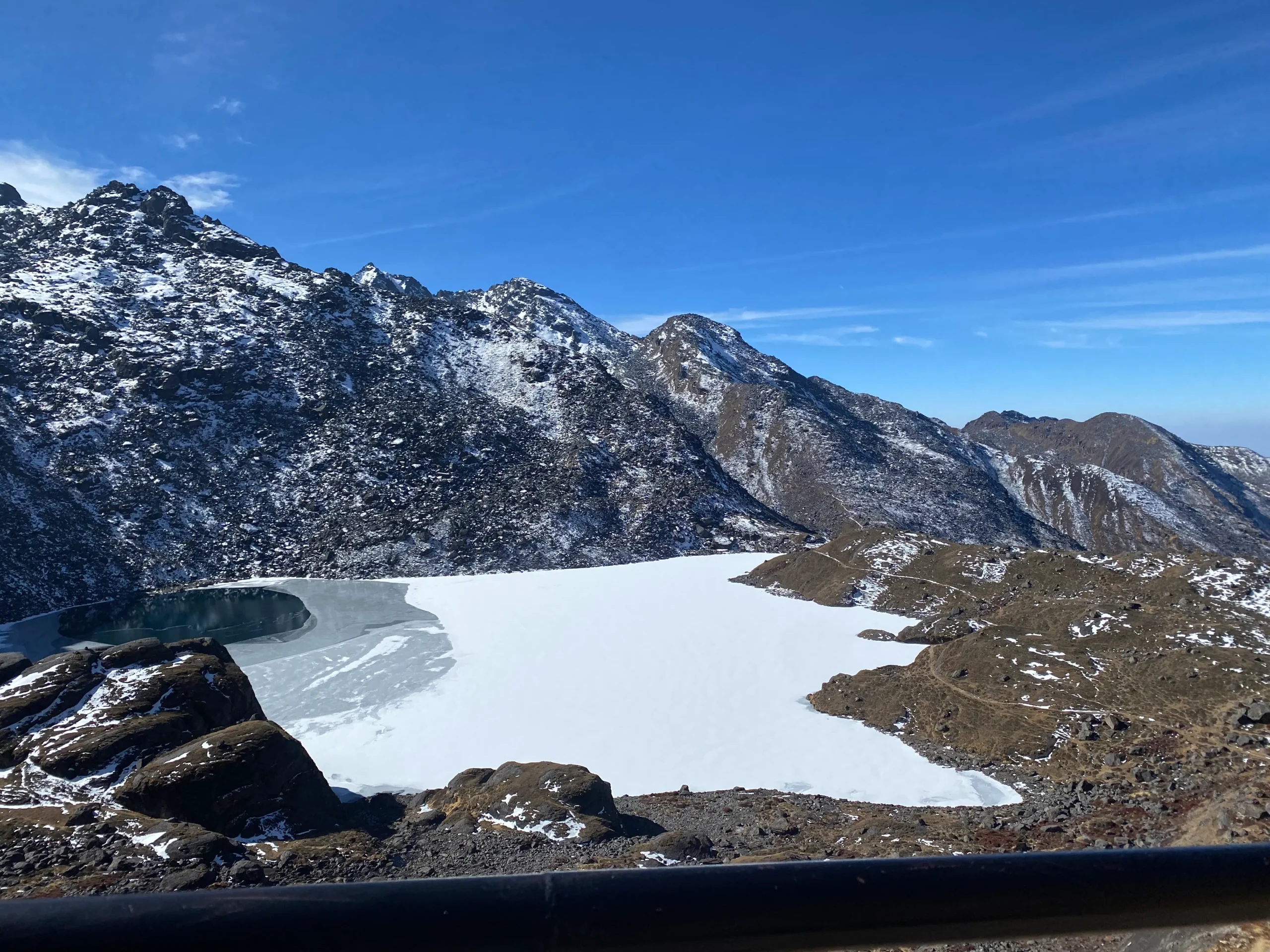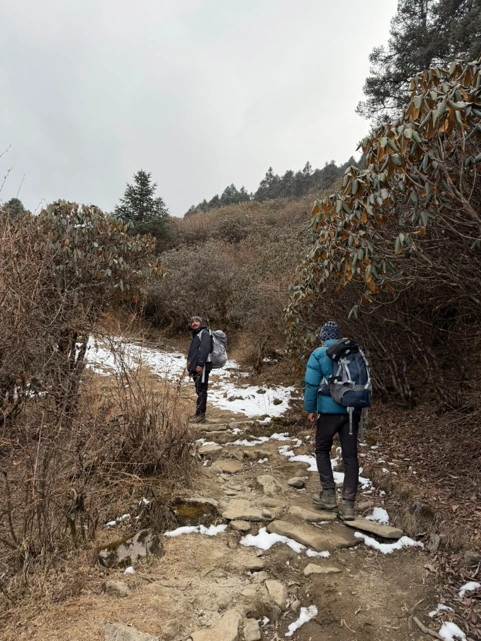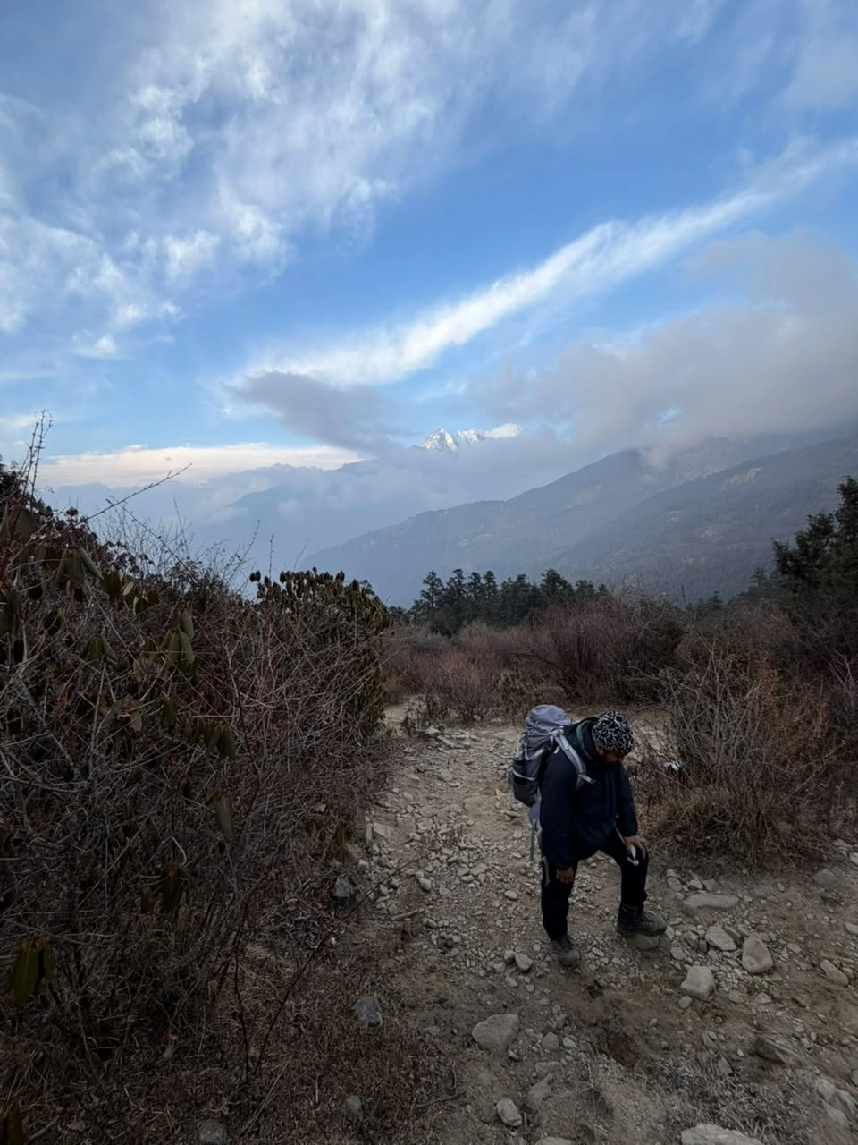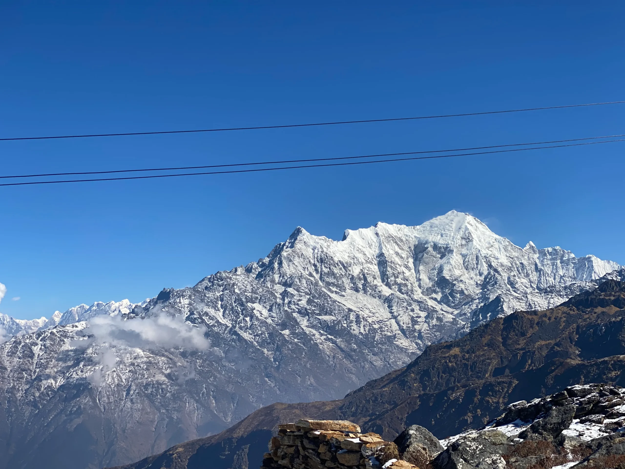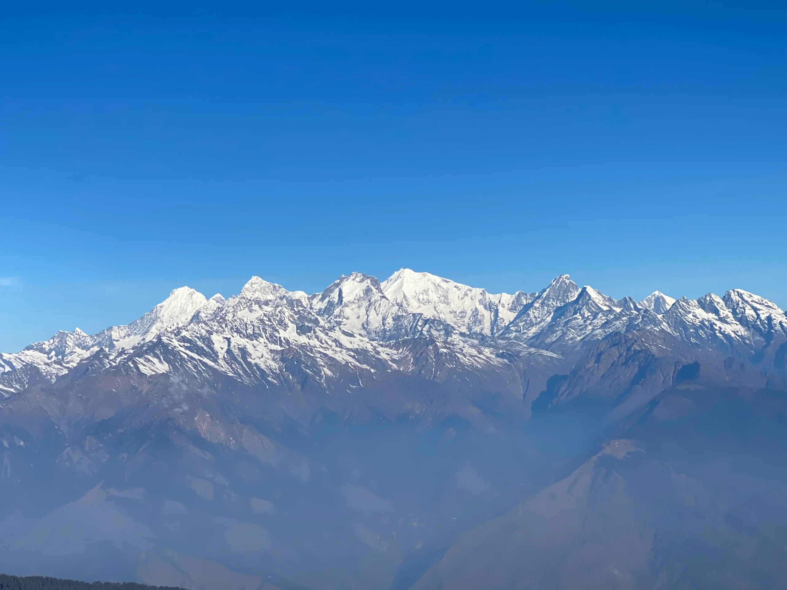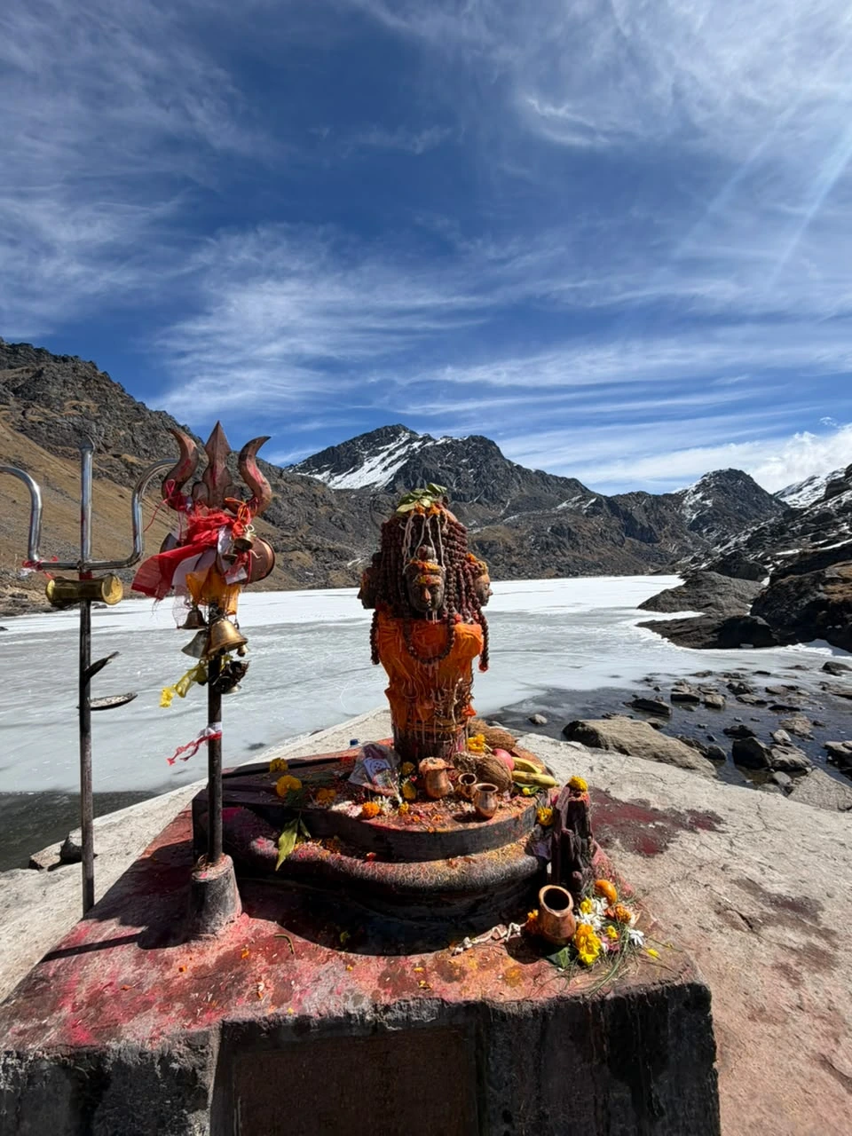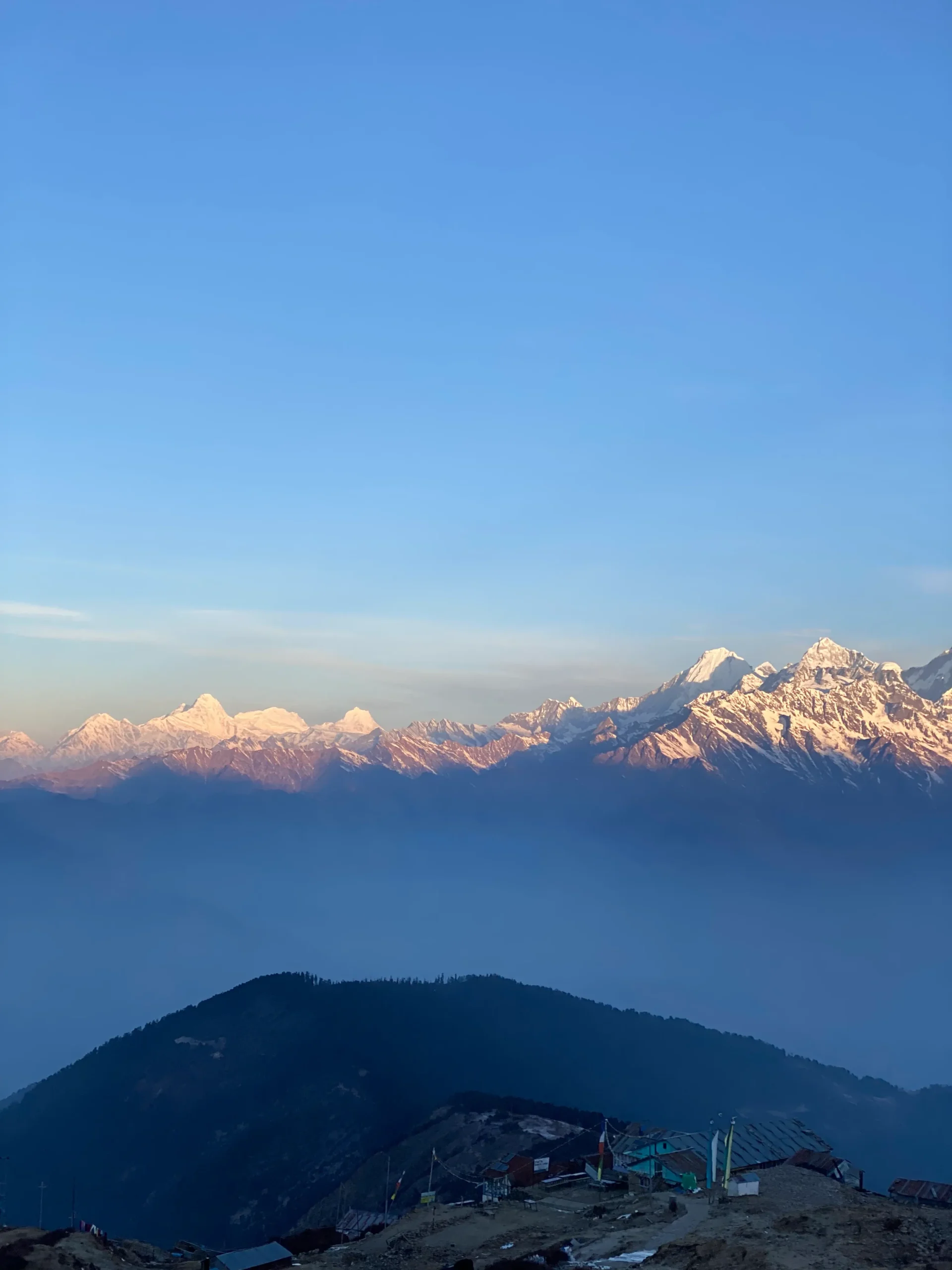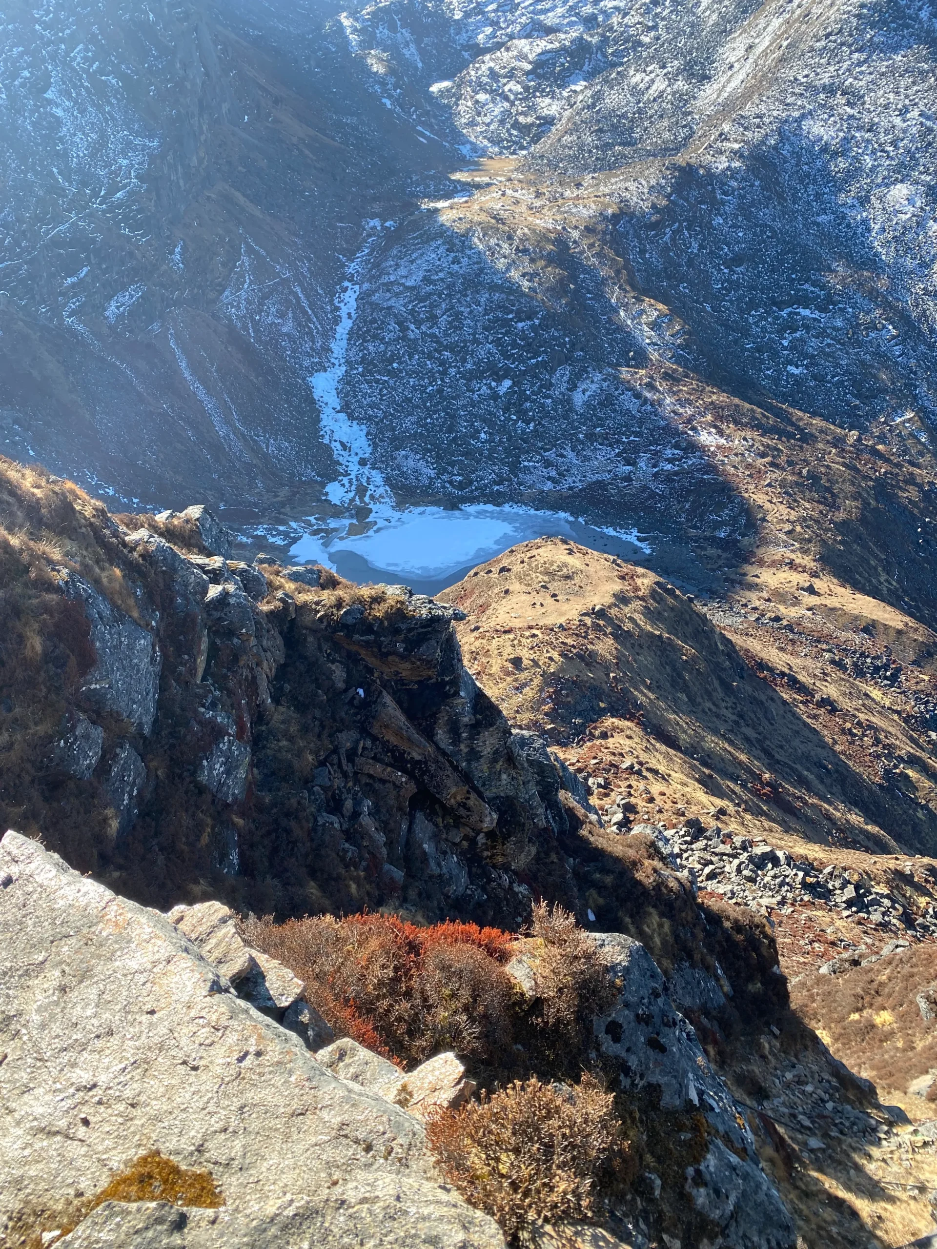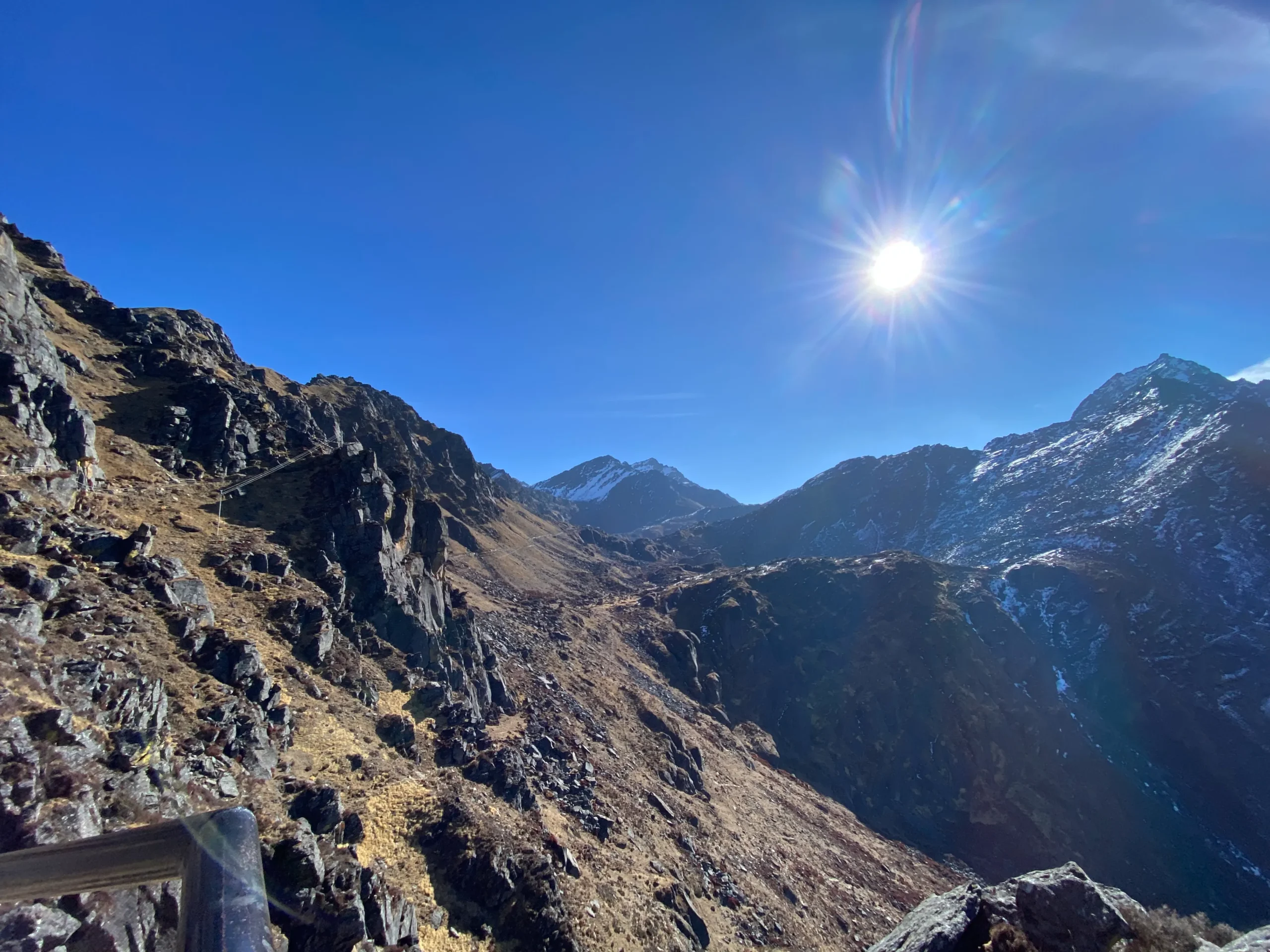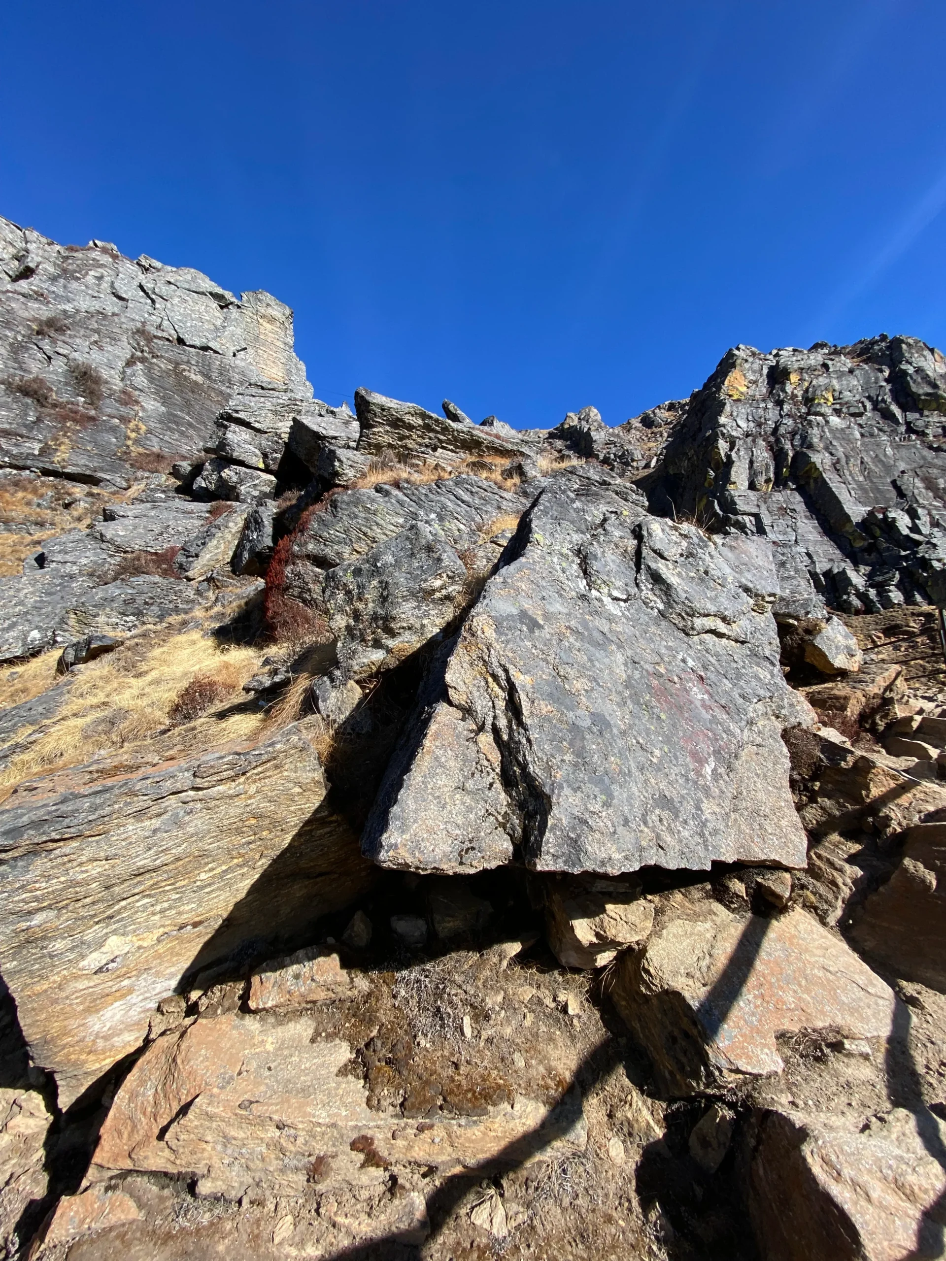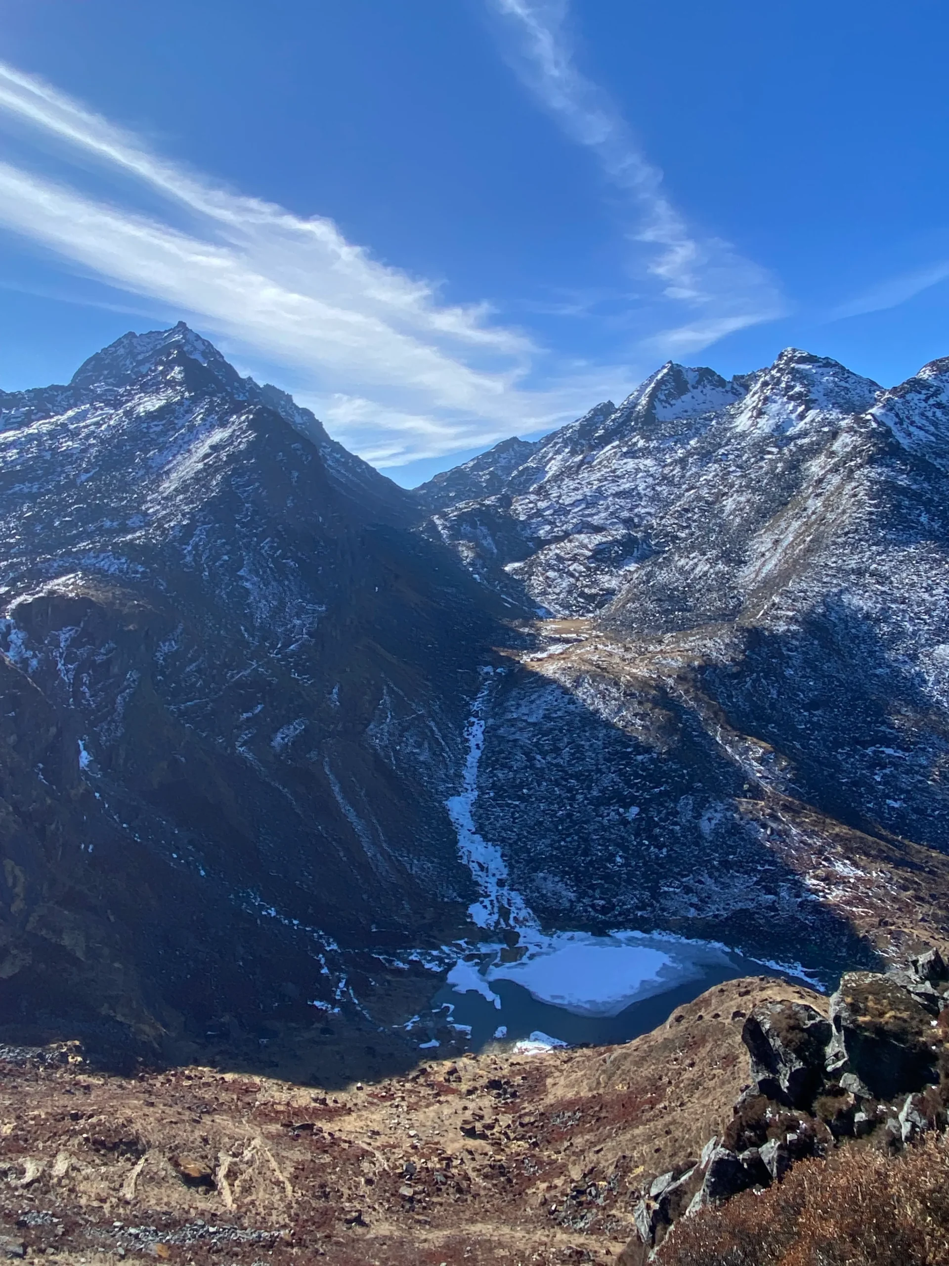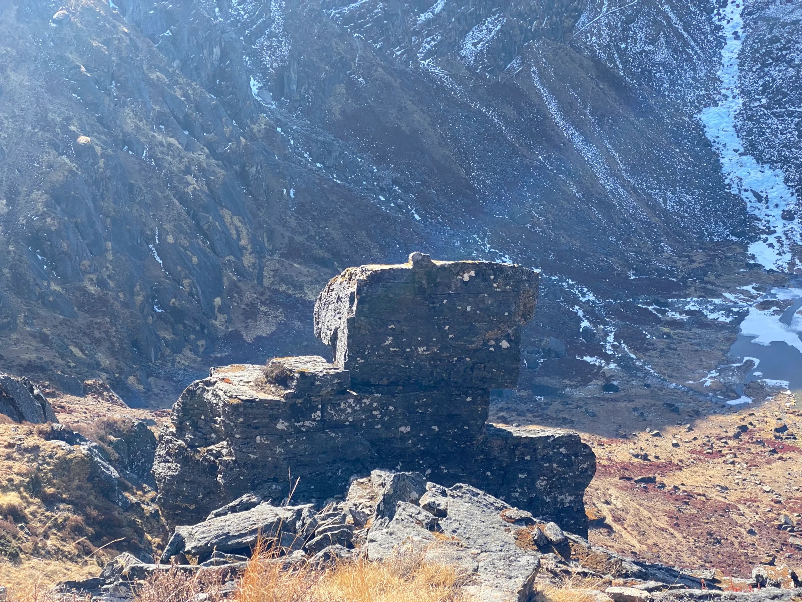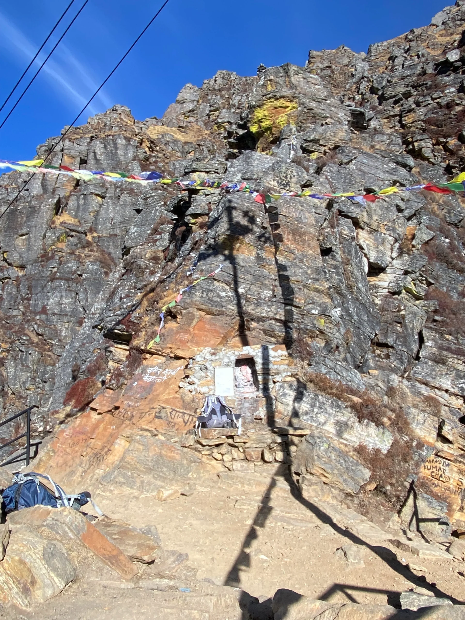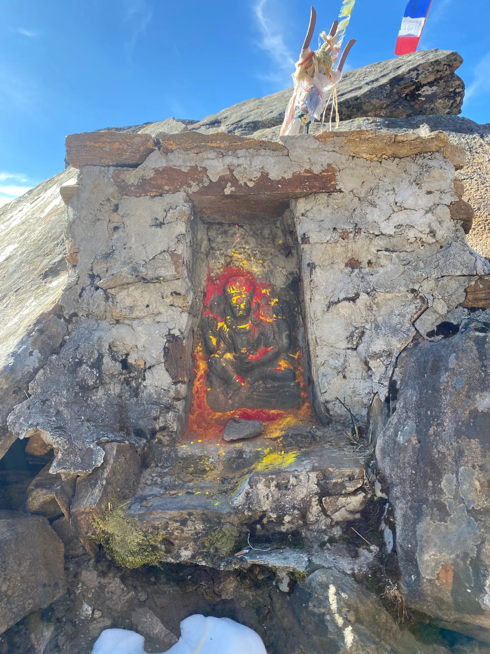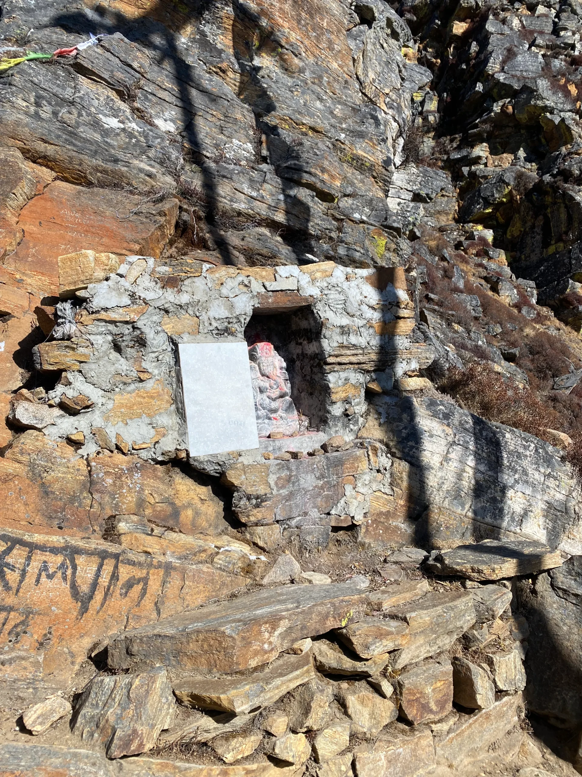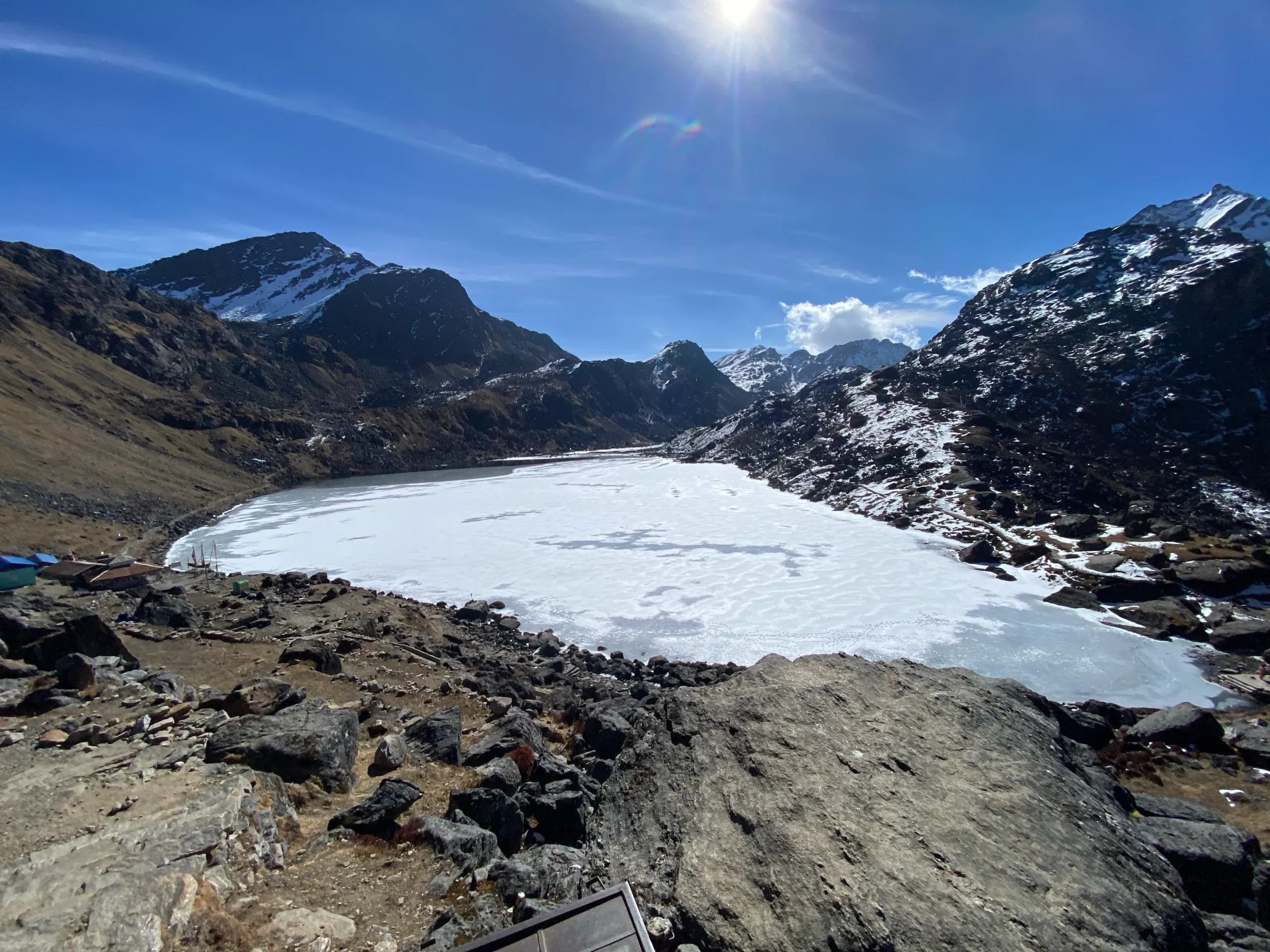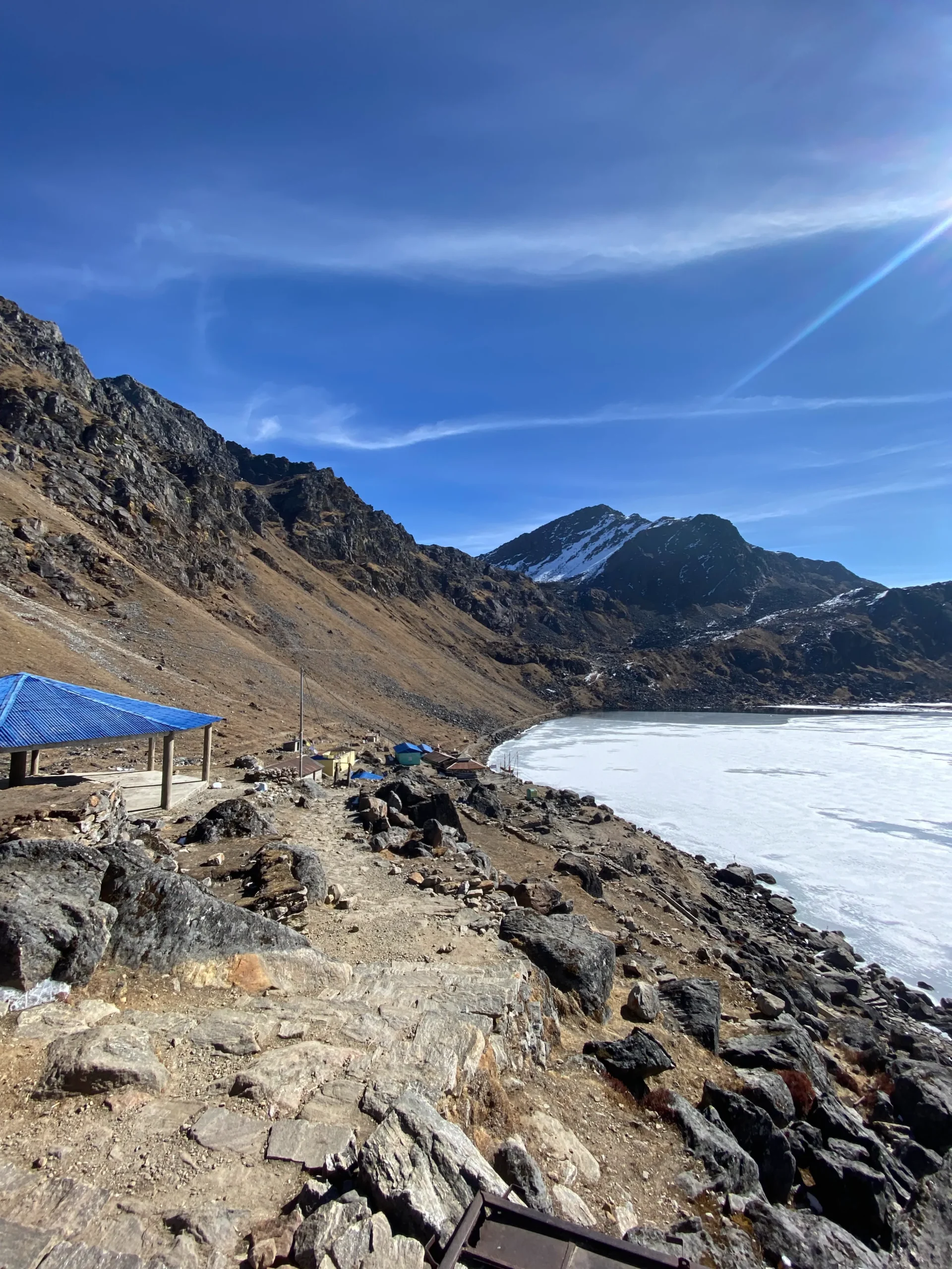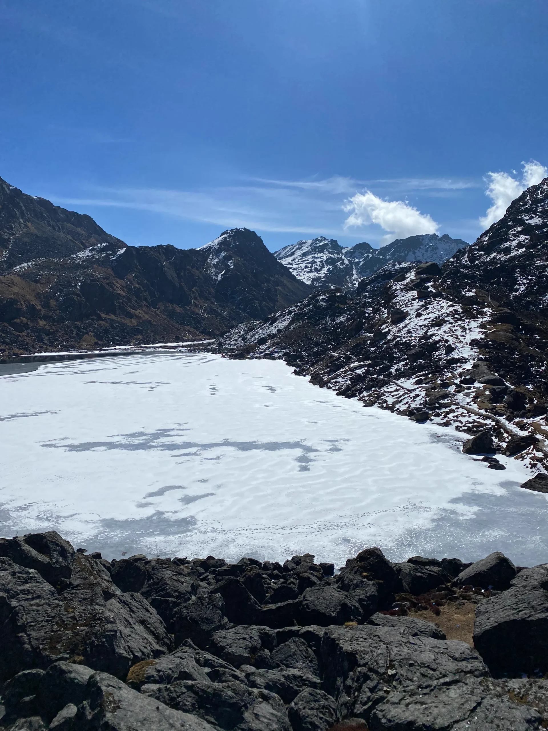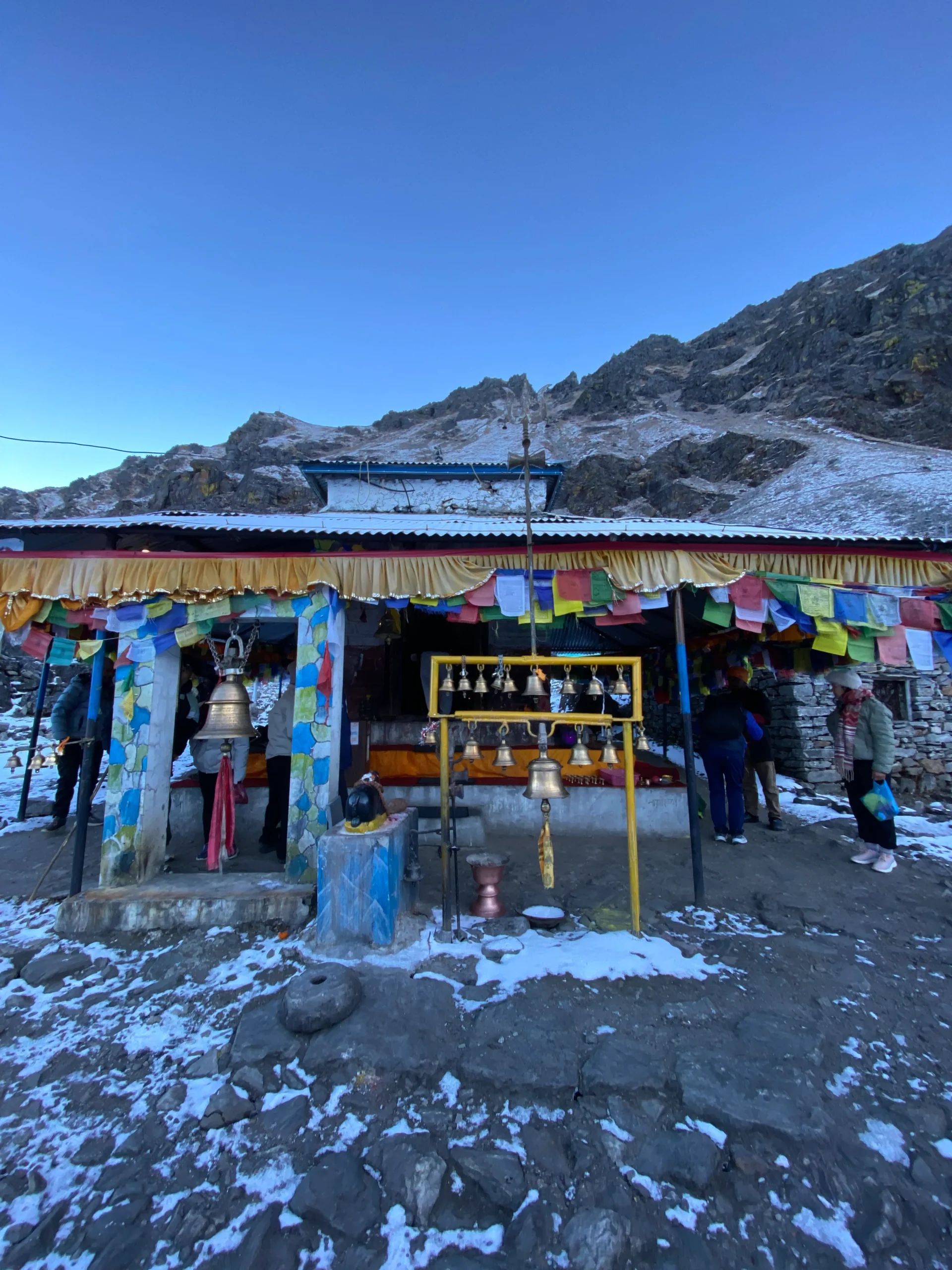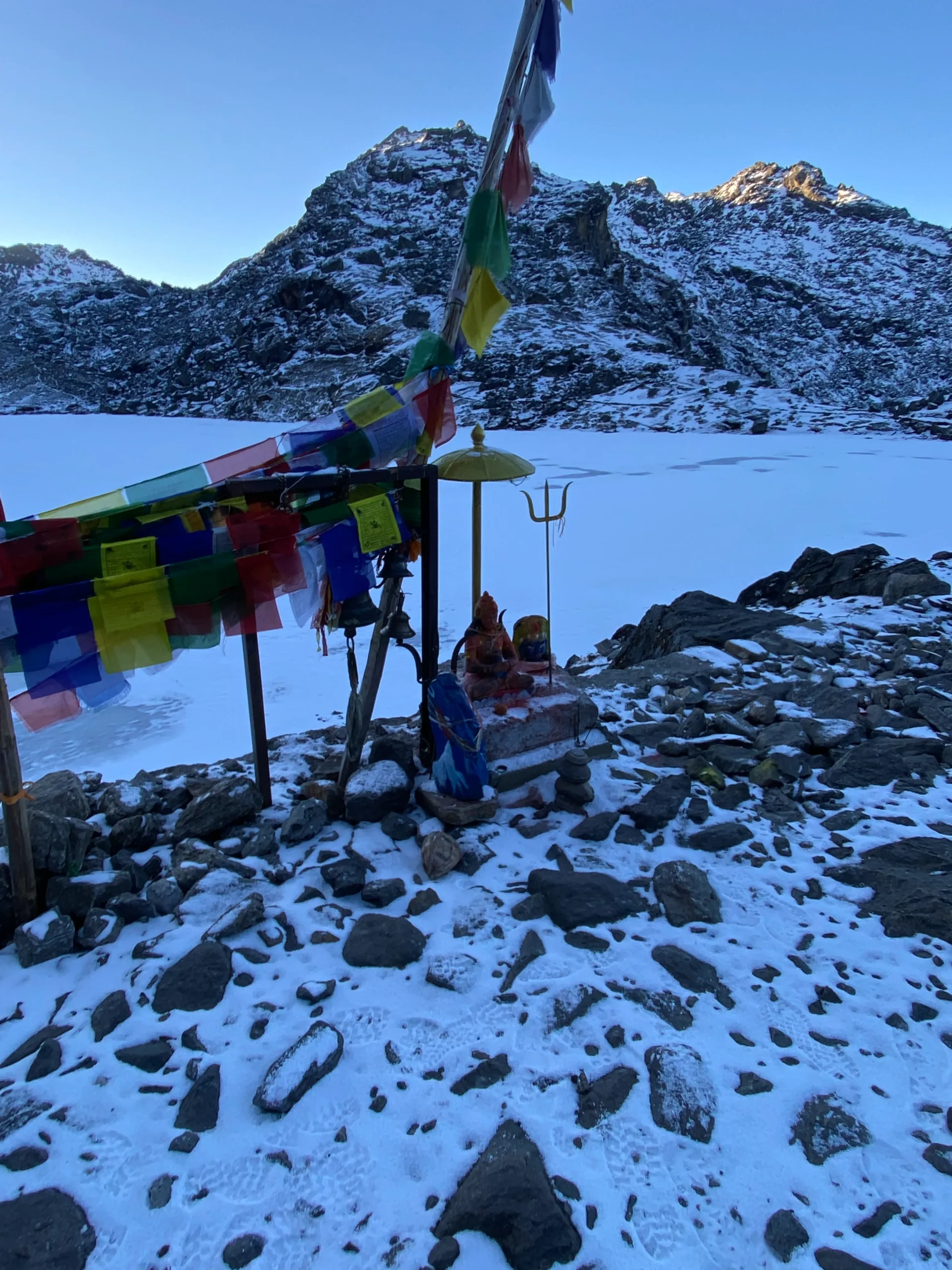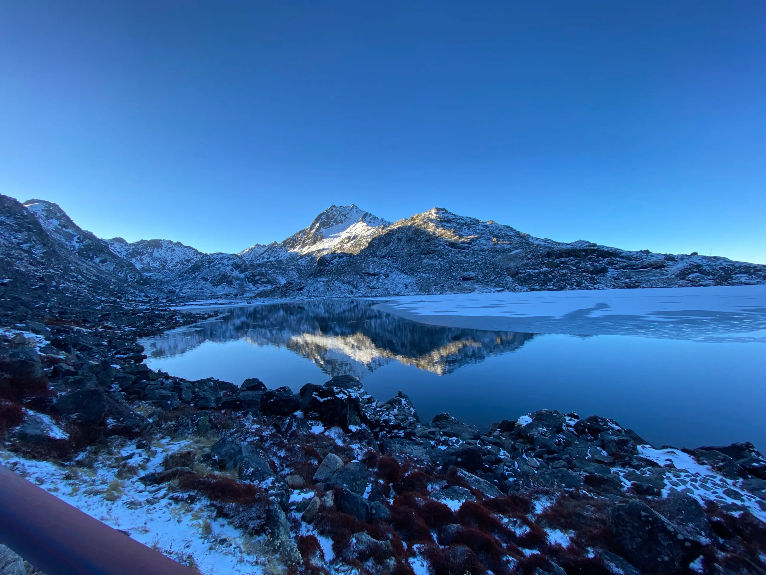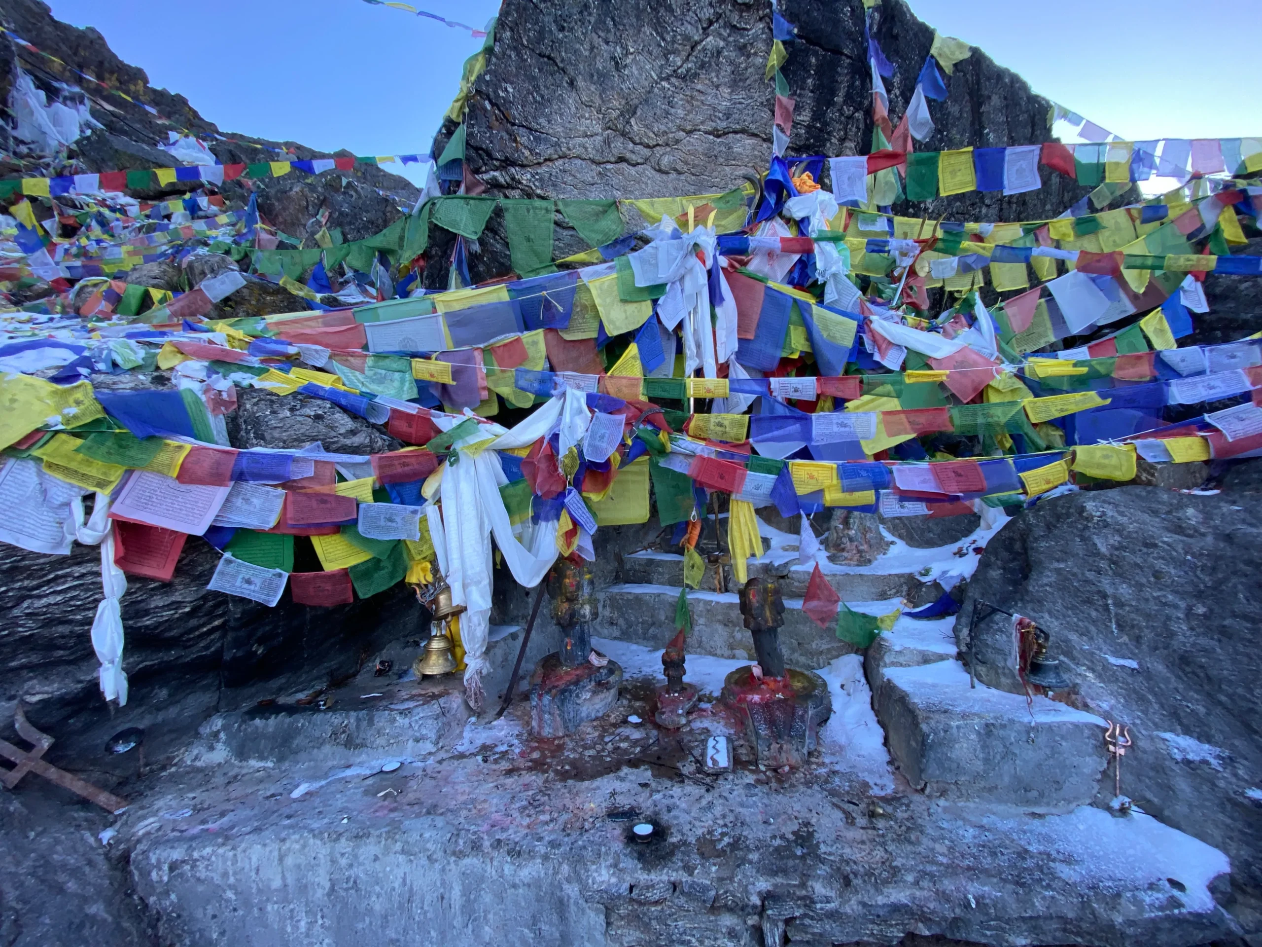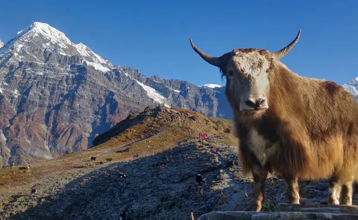
The Gosaikunda trek is a 9-day journey into the Langtang region of Nepal, leading trekkers to the sacred Gosaikunda Lake at 4,380 meters. Set inside Langtang National Park, this route combines high alpine scenery with genuine cultural and spiritual depth, offering a quieter alternative to Nepal’s busier trekking trails.
The trek begins with a scenic drive from Kathmandu to Dhunche, the main gateway to the Langtang region. From there, the trail climbs gradually through pine, oak, and rhododendron forest, passing traditional Tamang villages before reaching Sing Gompa, home to a well-known yak cheese factory and an old wooden monastery.
A dedicated acclimatization stop at Lauribinayak follows before the final push to Gosaikunda, keeping the ascent gradual and safe for trekkers of varying fitness levels. Gosaikunda Lake itself holds deep religious significance for both Hindus and Buddhists.
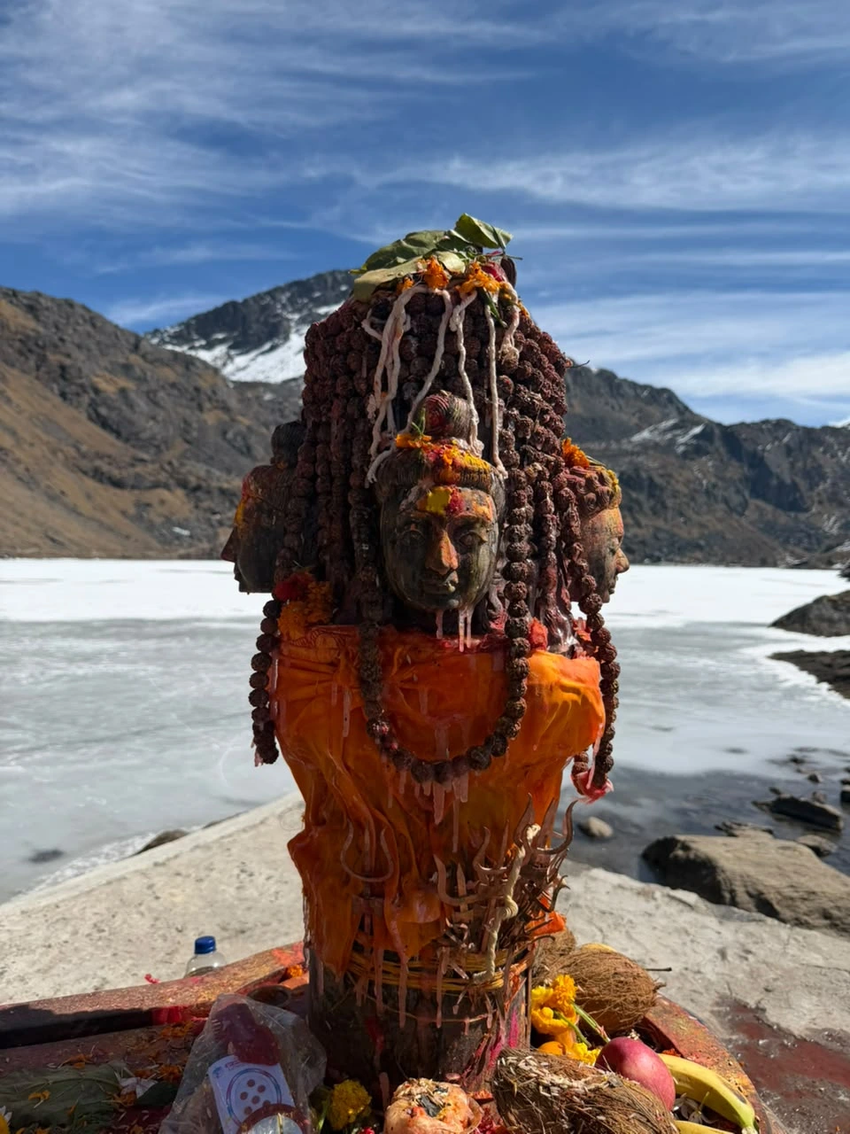
According to legend, Lord Shiva struck the ground with his trident to create the lake after swallowing poison to save the world. Each year during Janai Purnima in August, thousands of pilgrims travel here to bathe in its waters, a tradition that adds a rare cultural dimension to the trek beyond its natural beauty.
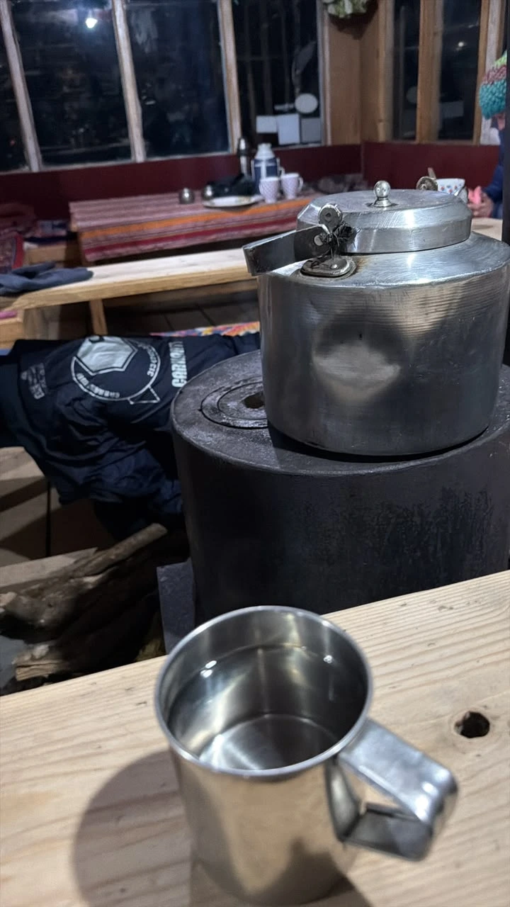
From Gosaikunda, the route descends via Ghopte and Tharepati into the Helambu region, passing through Kutumsang, Chipling, and Chisapani before reaching Sundarijal on the edge of the Kathmandu Valley.Each night is spent in simple teahouses, sharing meals like dal bhat and thukpa with fellow trekkers and hosts along the way.
Our guides at Nepal Adventure Trail have led this route for years, with a safety-first itinerary structure and firsthand knowledge of the trail, weather patterns, and best acclimatization points. The Gosaikunda trek is as much a physical journey as a spiritual one, a walk through some of the Langtang region’s most sacred and scenic terrain.
▶️Need help booking your trip? Watch our step-by-step video guide.
The Langtang Gosaikunda trek begins with a scenic drive from Kathmandu to Dhunche, following the Trishuli River valley through terraced hillsides and rural Tamang settlements. Dhunche is the main gateway town to Langtang National Park and the starting point of the Gosaikunda trek route. Overnight in a lodge in Dhunche.
The trek climbs steadily through pine, oak, and rhododendron forest via Deurali, gaining significant altitude on this demanding first trekking day. Along the way, keep an eye out for red pandas in the forest canopy. Sing Gompa (also known as Chandanbari) is home to a well-known Yak Cheese Factory and an old wooden monastery — a good spot to rest, sample fresh local cheese, and acclimatize before continuing higher. Overnight in Sing Gompa.
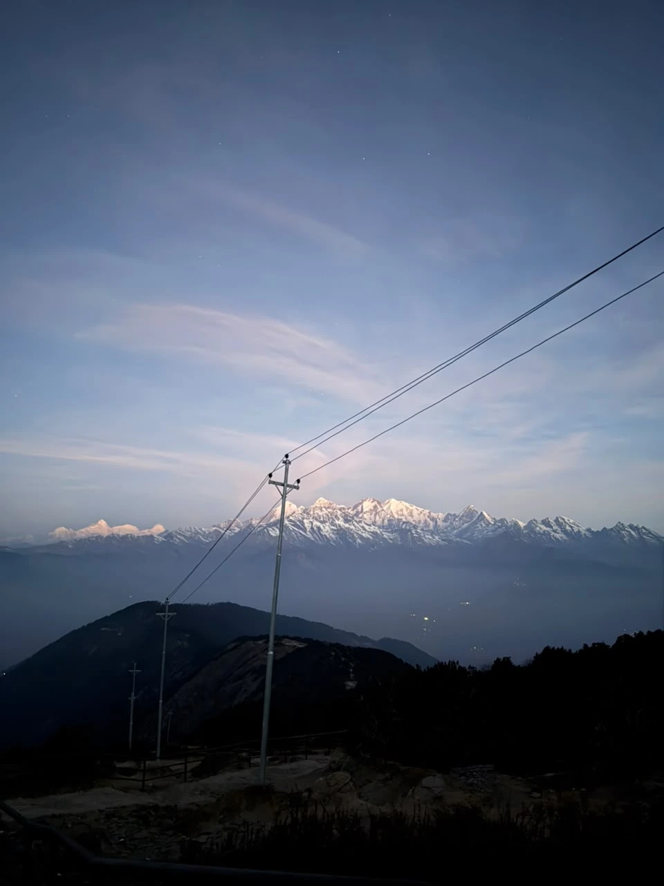
A shorter, gentler day built in for acclimatization — a key safety step often skipped by other Gosaikunda trek itineraries. The trail passes through Cholangpati, a small rest stop with pine forest views, before a gradual ascent to Lauribinayak. From here, the first clear panoramas of the Langtang and Ganesh Himal ranges open up. Overnight in Lauribinayak.
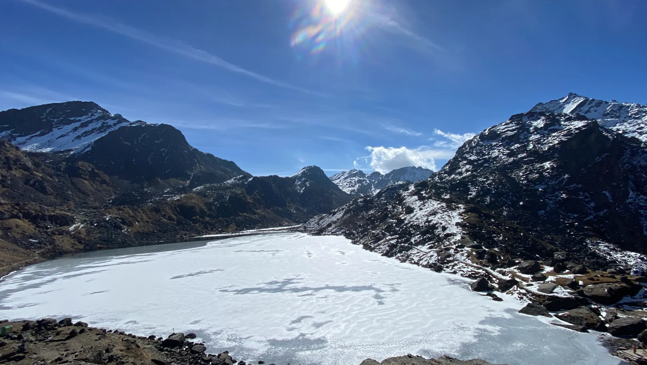
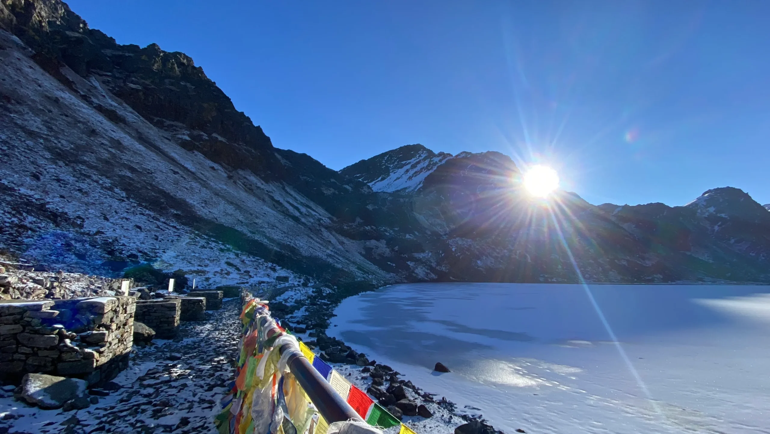
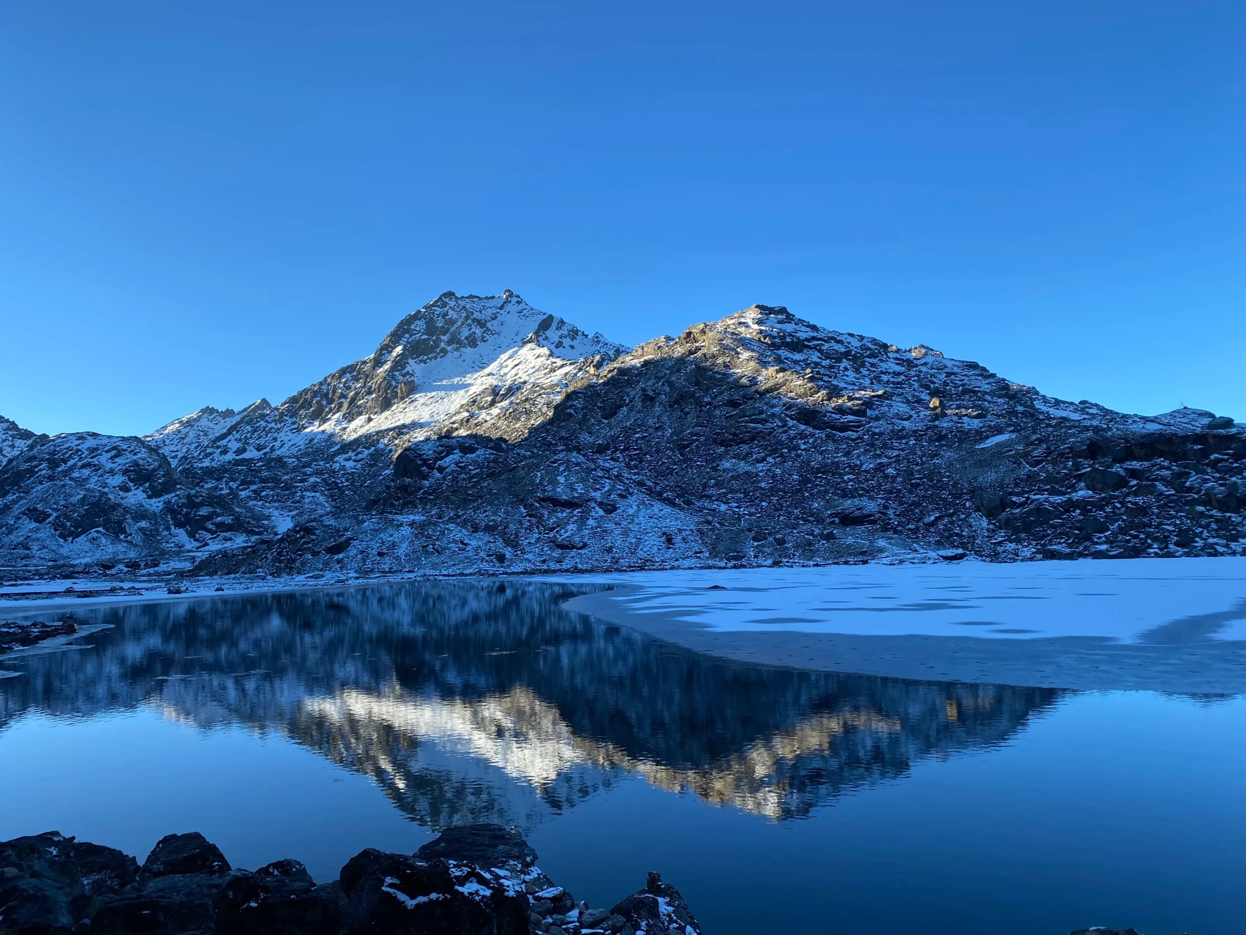
Today’s trek crosses Lauribina La Pass, the highest point on this section of the route, before descending slightly to the sacred Gosaikunda Lake. Gosaikunda is one of Nepal’s most important Hindu-Buddhist pilgrimage sites, especially during the Janai Purnima festival in August, when thousands of devotees travel here to bathe in its holy waters. Surrounded by around a dozen smaller lakes — including Saraswati Kunda and Bhairav Kunda — and framed by snow-capped peaks, this is the highlight of the Langtang Gosaikunda trek. Overnight near Gosaikunda Lake.
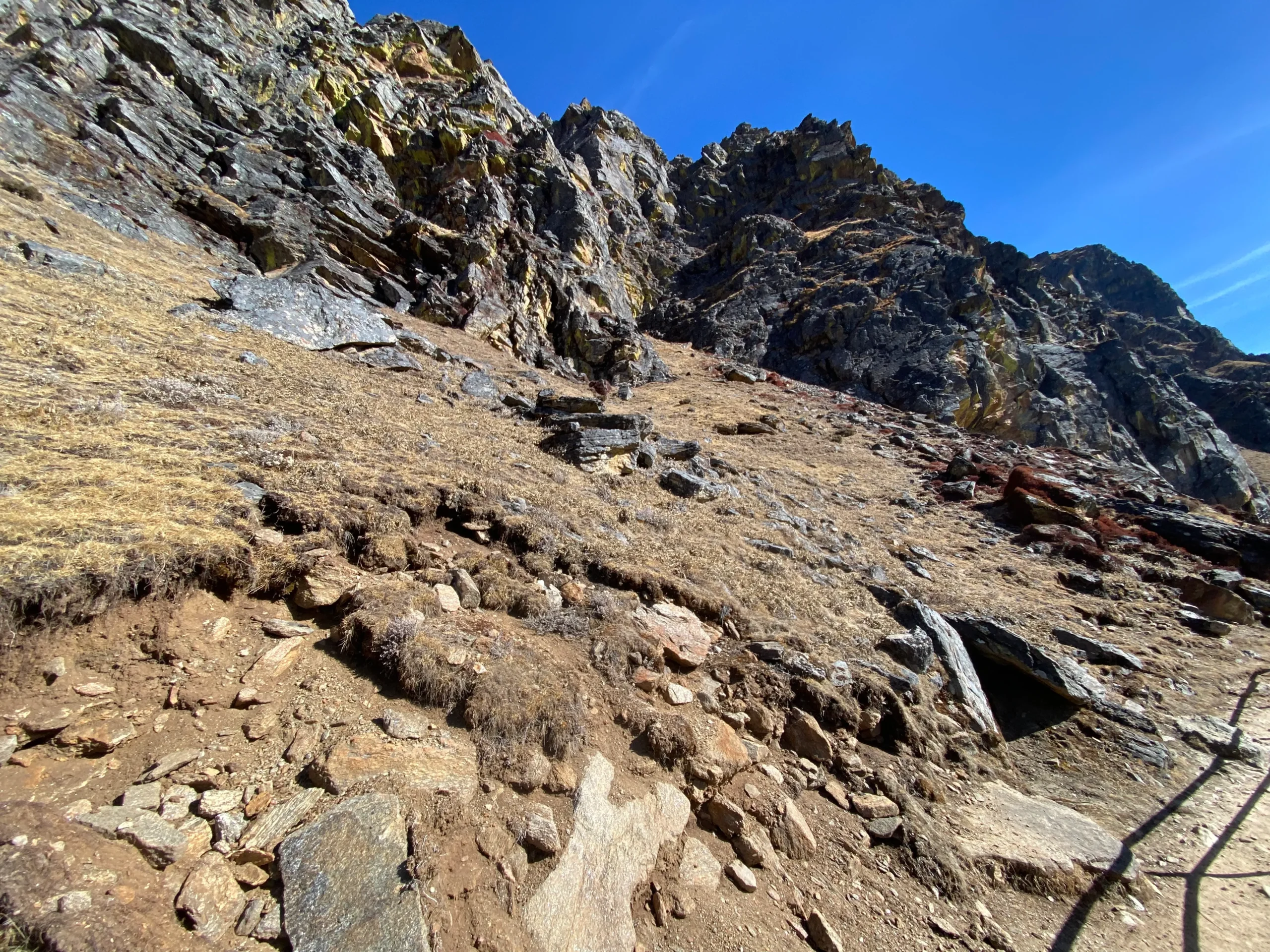
A long but entirely descending day, safe to combine since altitude loss carries no AMS risk. The trail drops through alpine meadows and rocky ridgelines to Ghopte, then continues a short additional stretch through rhododendron and oak forest to Tharepati, rewarded with sweeping views of the Langtang, Ganesh Himal, and Jugal Himal ranges. Overnight in Tharepati.
The trail descends steadily through terraced fields and forest, passing through small villages where daily mountain life continues much as it always has. Kutumsang offers a peaceful overnight stop with good valley views. Overnight in Kutumsang.
Continue downhill through traditional farming settlements and forested ridges. Chipling is a quiet, less-visited village with wide-open landscape views, marking the gradual transition back toward the Kathmandu Valley rim. Overnight in Chipling.
Trek through forested hills to Chisapani, well known for spectacular sunrise and sunset views over the Himalayan range. This is the final overnight mountain stop of the Langtang Gosaikunda trek before descending into the Kathmandu Valley. Overnight in Chisapani.
The final trekking day descends through Shivapuri National Park, passing natural springs and waterfalls, before reaching the trailhead at Sundarijal. From here, a short drive returns you to Kathmandu, marking the end of the Langtang Gosaikunda trek.
Spring (March to May): The most popular trekking season in the Langtang region. Trails are dry, visibility is high on most days, and the rhododendron forests below Cholangpati bloom in vibrant reds and pinks, making this one of the most photogenic times to reach Gosaikunda Lake.
Autumn (September to November): Considered the best overall season by most experienced guides, thanks to stable weather, clear skies, and unobstructed mountain views of Langtang Lirung and Ganesh Himal. Daytime temperatures are comfortable for the steep climb to Lauribina La Pass.
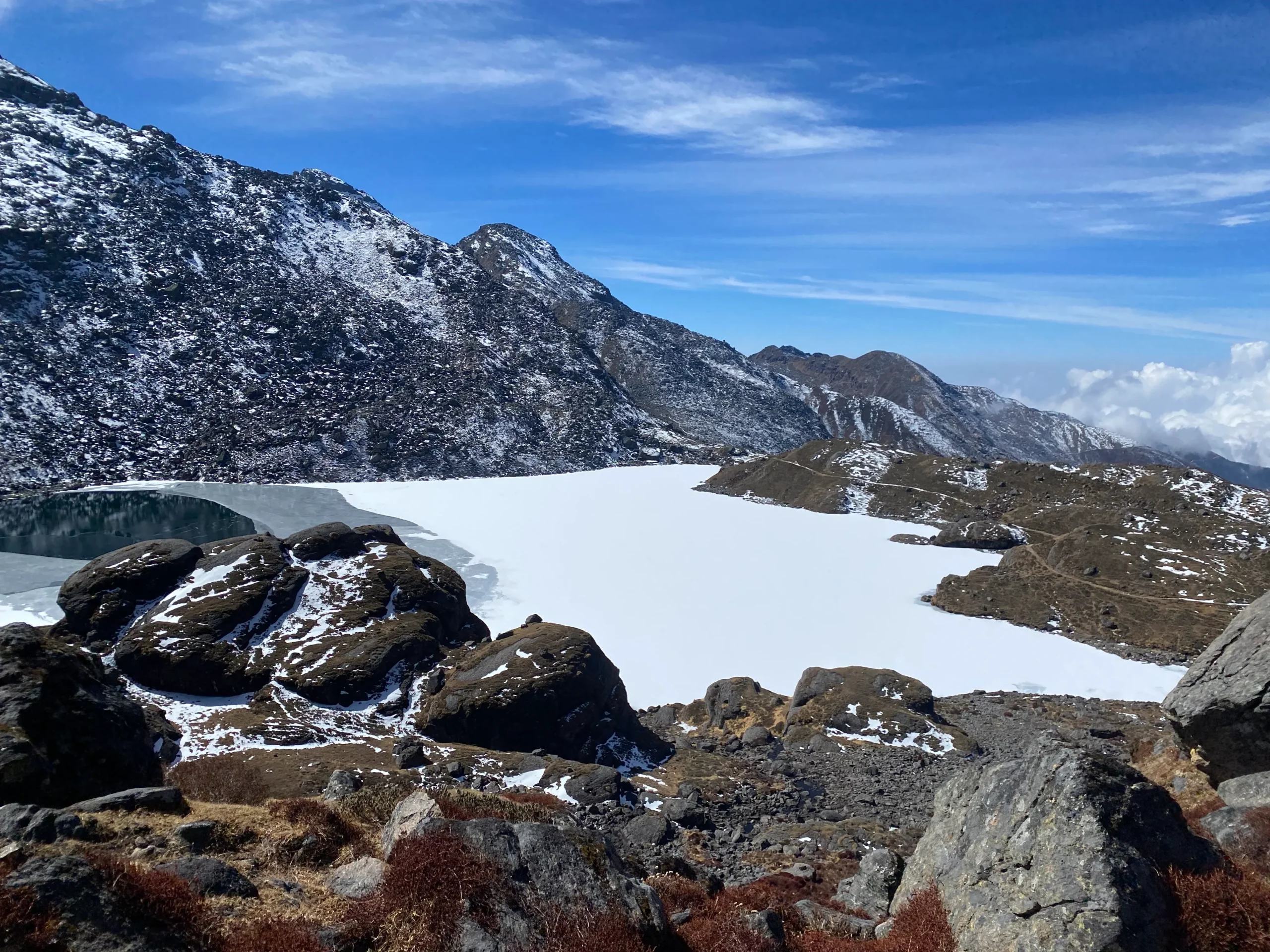
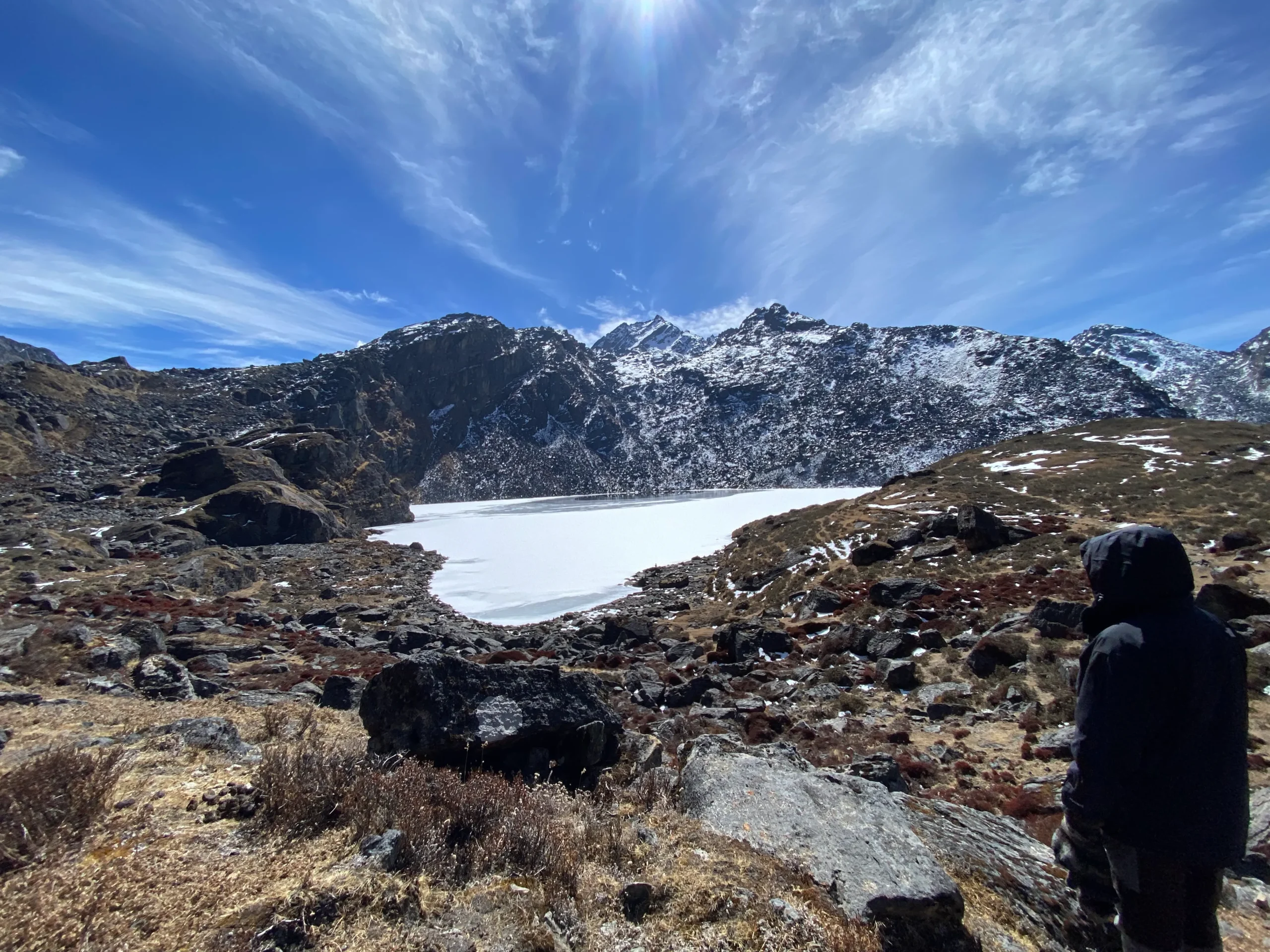
Winter (December to February): Cold, often snow-covered above Cholangpati, and some lodges near Gosaikunda operate on limited service. Feasible for well-prepared, experienced trekkers, but not recommended for first-timers at altitude.
Monsoon (June to August): Heavy rainfall, slippery trails, leeches in the lower forest sections, and frequently clouded-over views make this the least favorable season for the Gosaikunda Trek.
Gosaikunda Lake: A sacred alpine lake at 4,380 m, revered in both Hindu and Buddhist tradition and known for its crystal-clear turquoise water — the spiritual and scenic highlight of the trek.
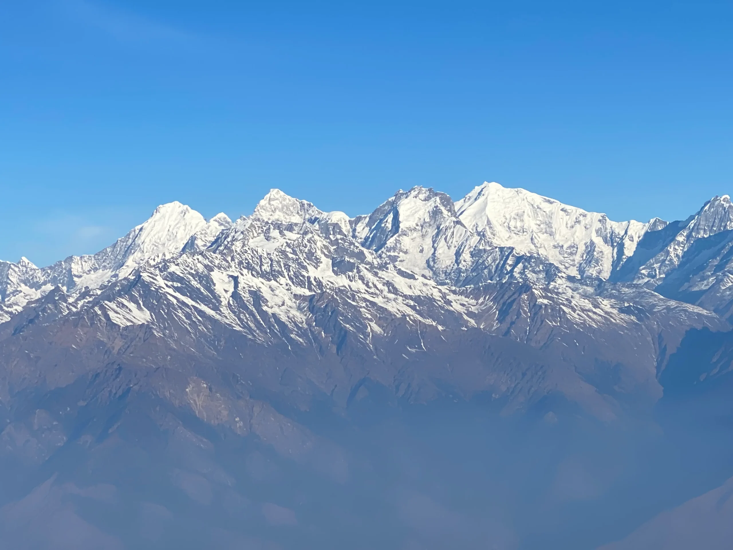
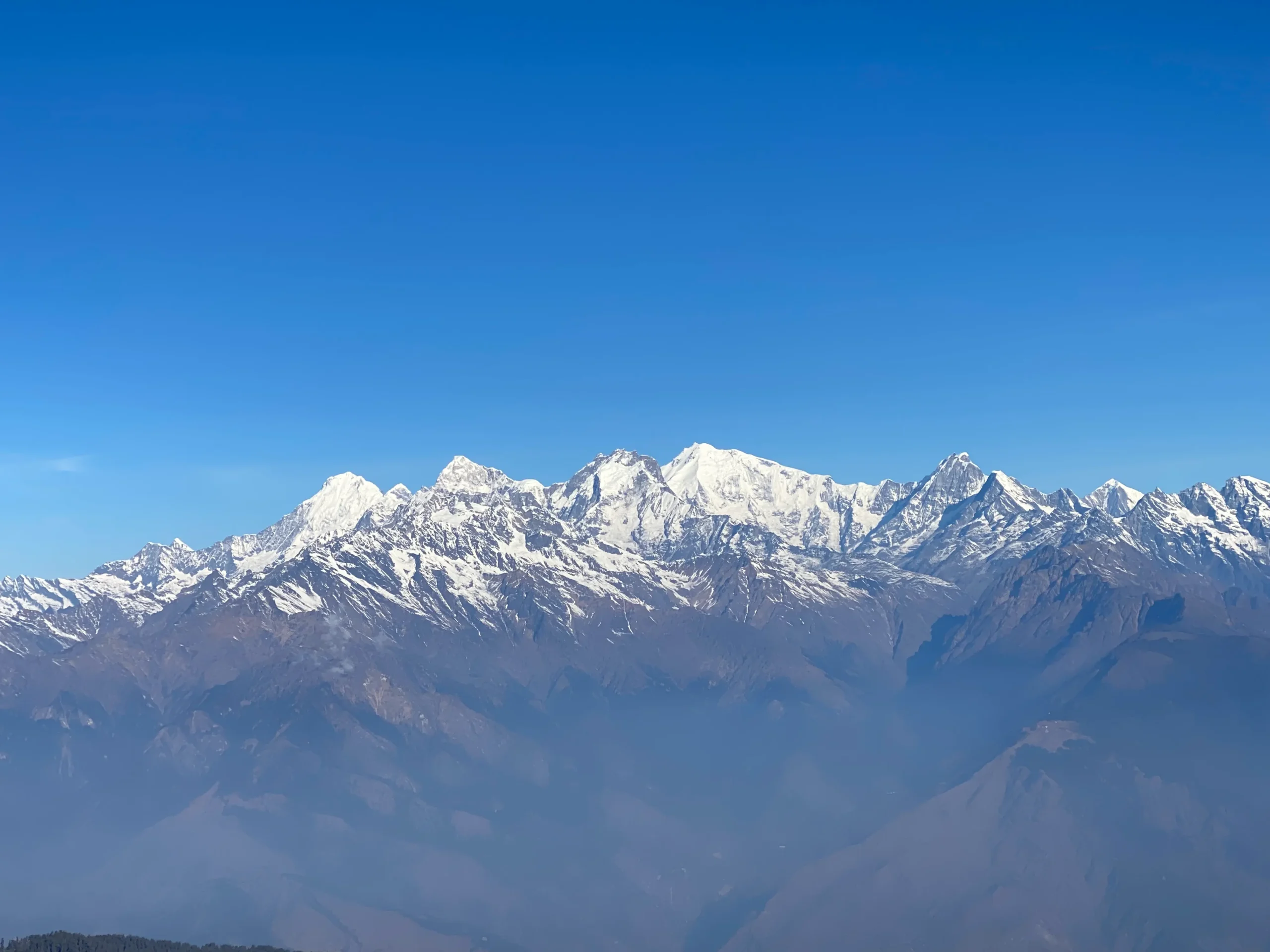
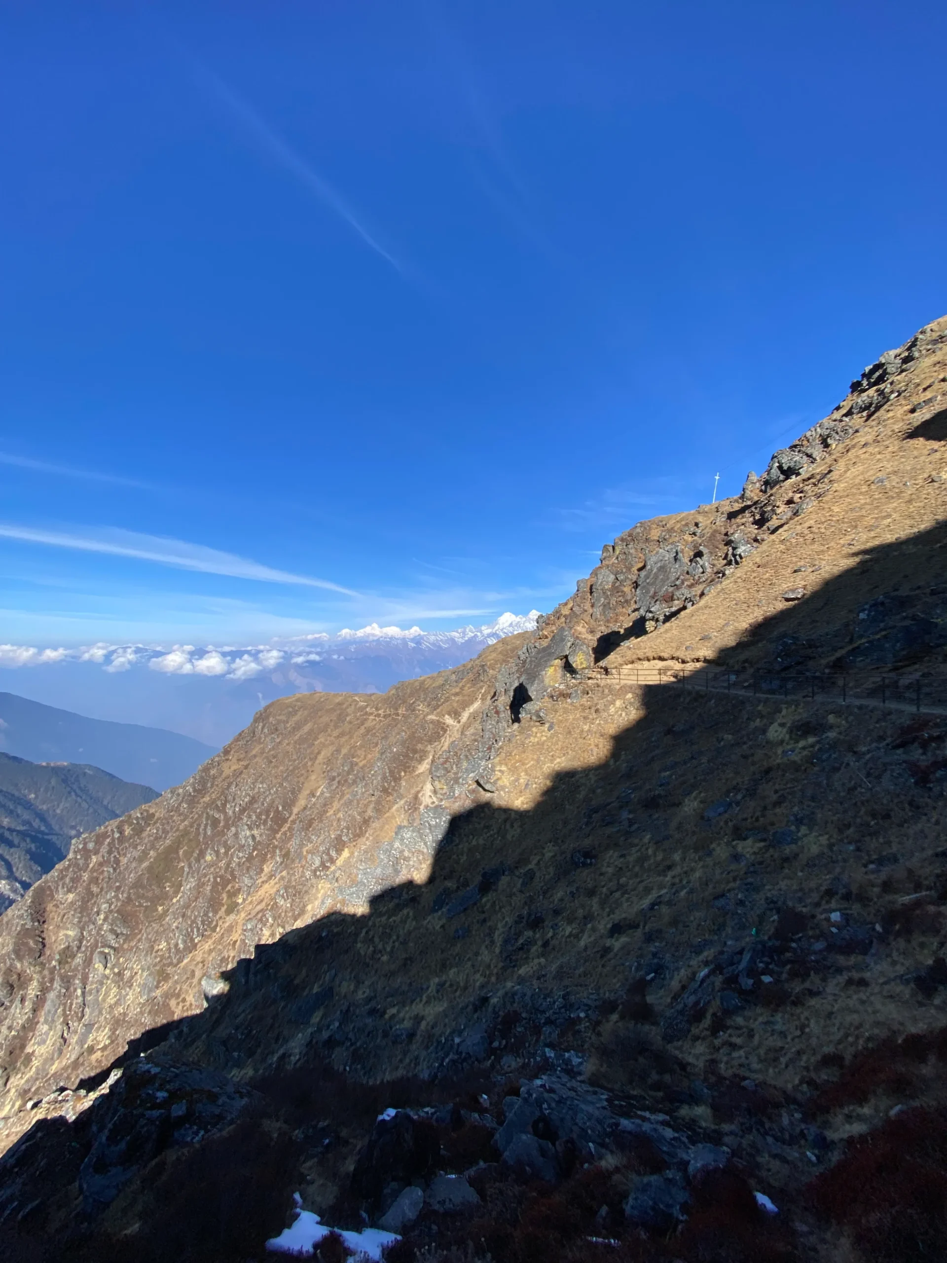
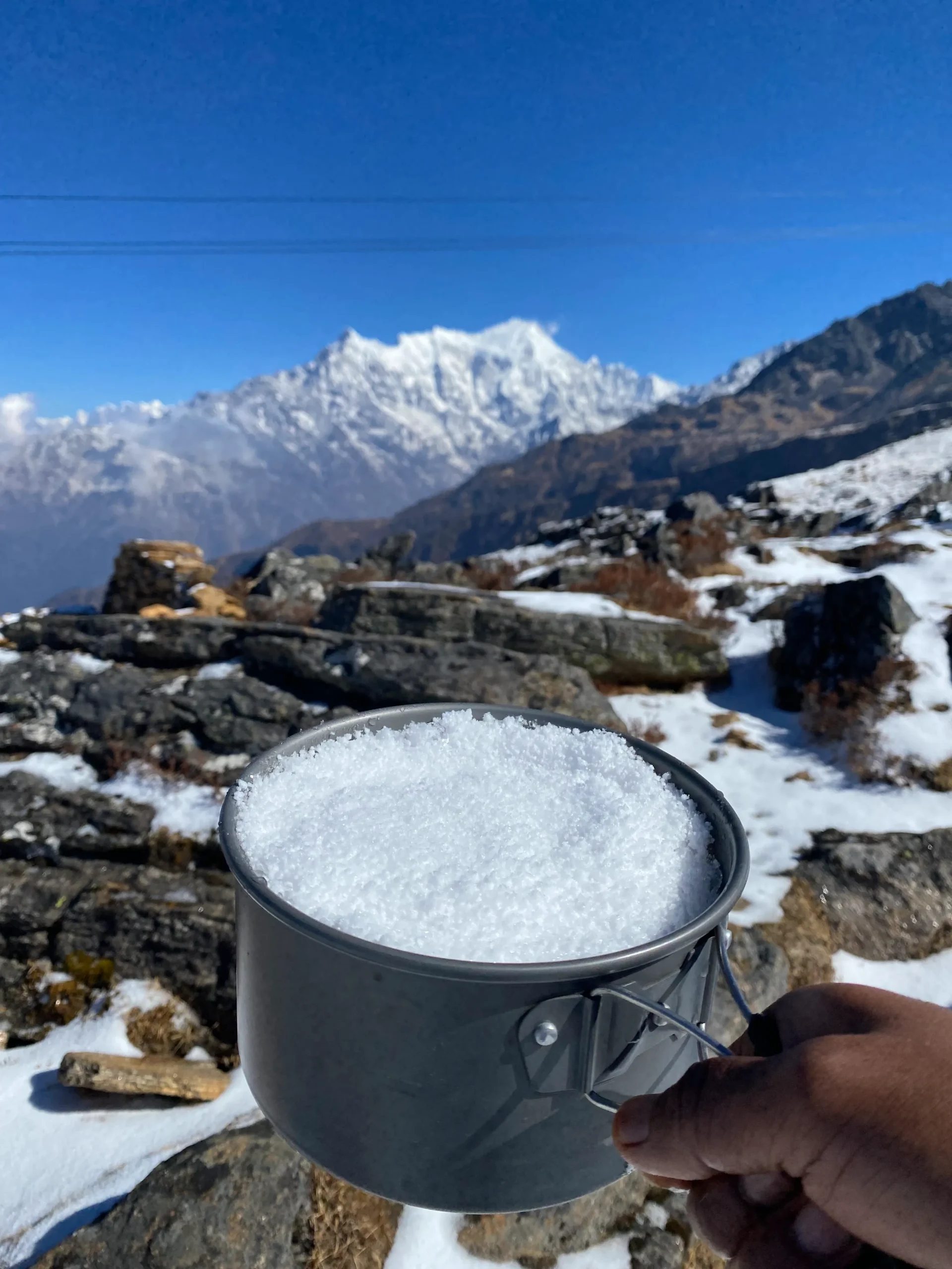
Lauribina La Pass (4,610 m): The highest point of the trek, offering panoramic views of Langtang Lirung, Ganesh Himal, and Jugal Himal on a clear day.
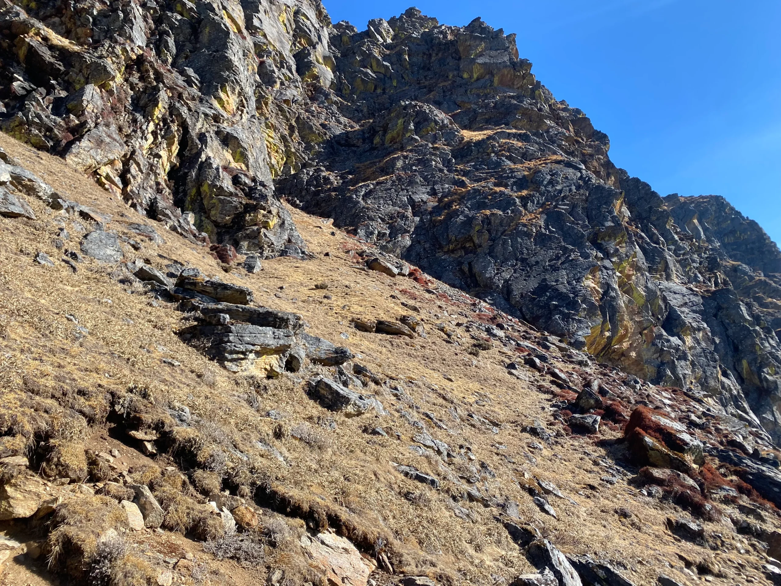
Diverse Flora: The route passes through rhododendron, oak, pine, and bamboo forest as elevation changes; rhododendrons carpet the hillsides in spring, giving way to alpine scrub above the treeline.
Wildlife: Langtang National Park is home to Himalayan pheasants and other birdlife, musk deer, and, with some luck, the elusive red panda in the forested lower sections of the trail.
Traditional Villages: Tamang and Sherpa communities in Dhunche, Cholangpati, and Kutumsang give trekkers a genuine look at mountain life, local hospitality, and teahouse culture.
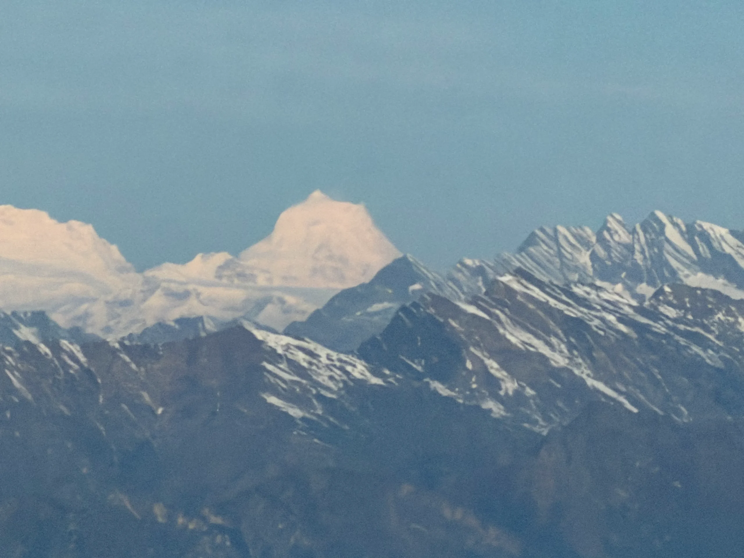
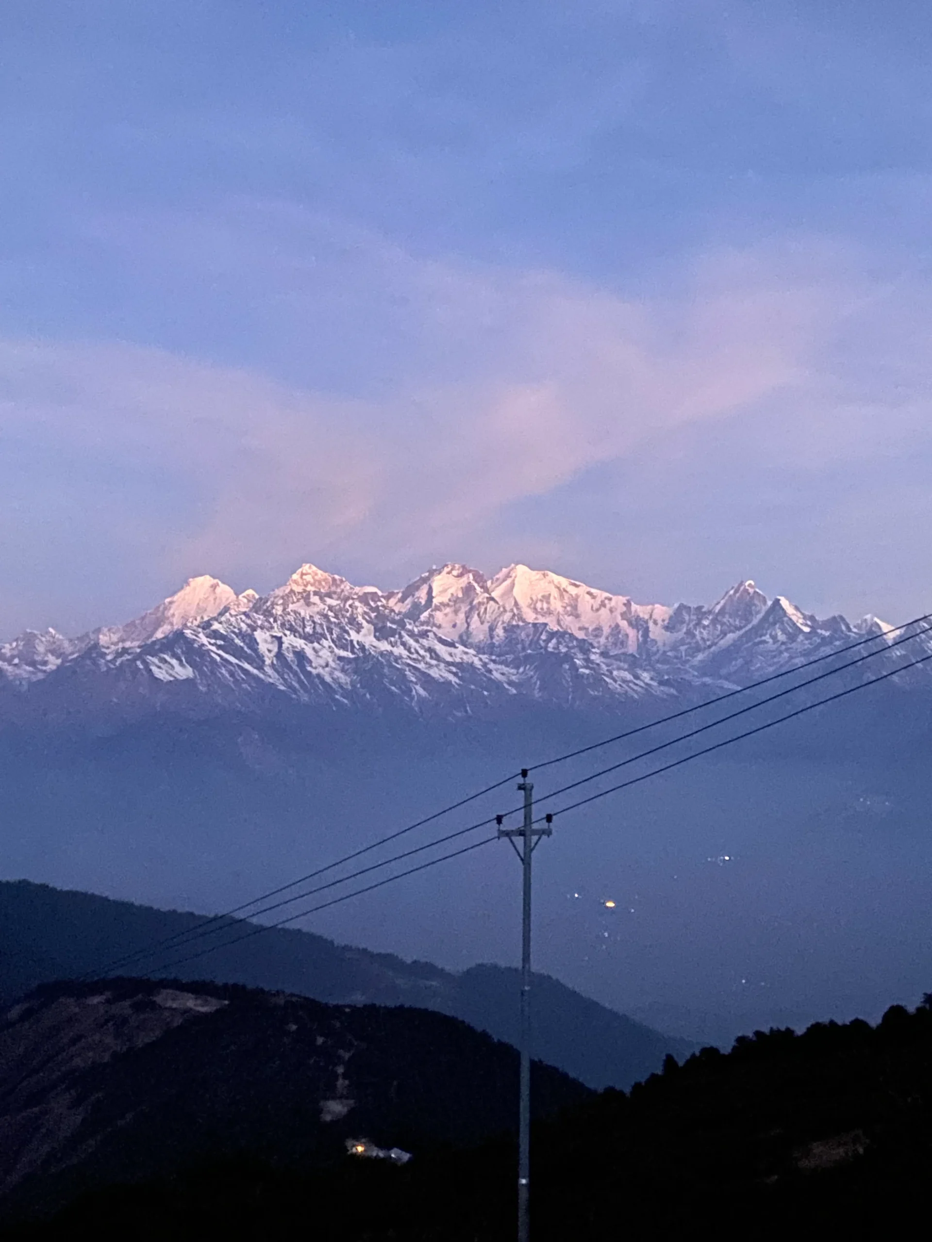
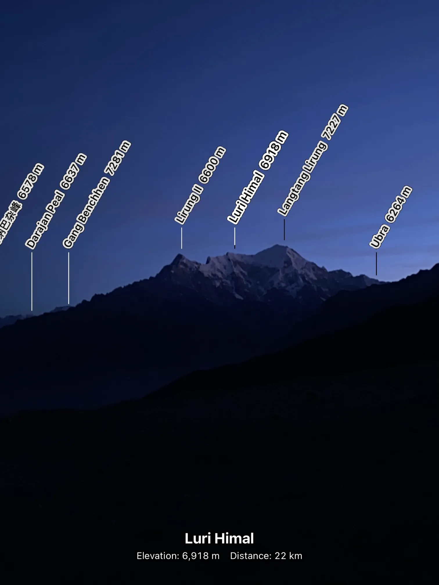
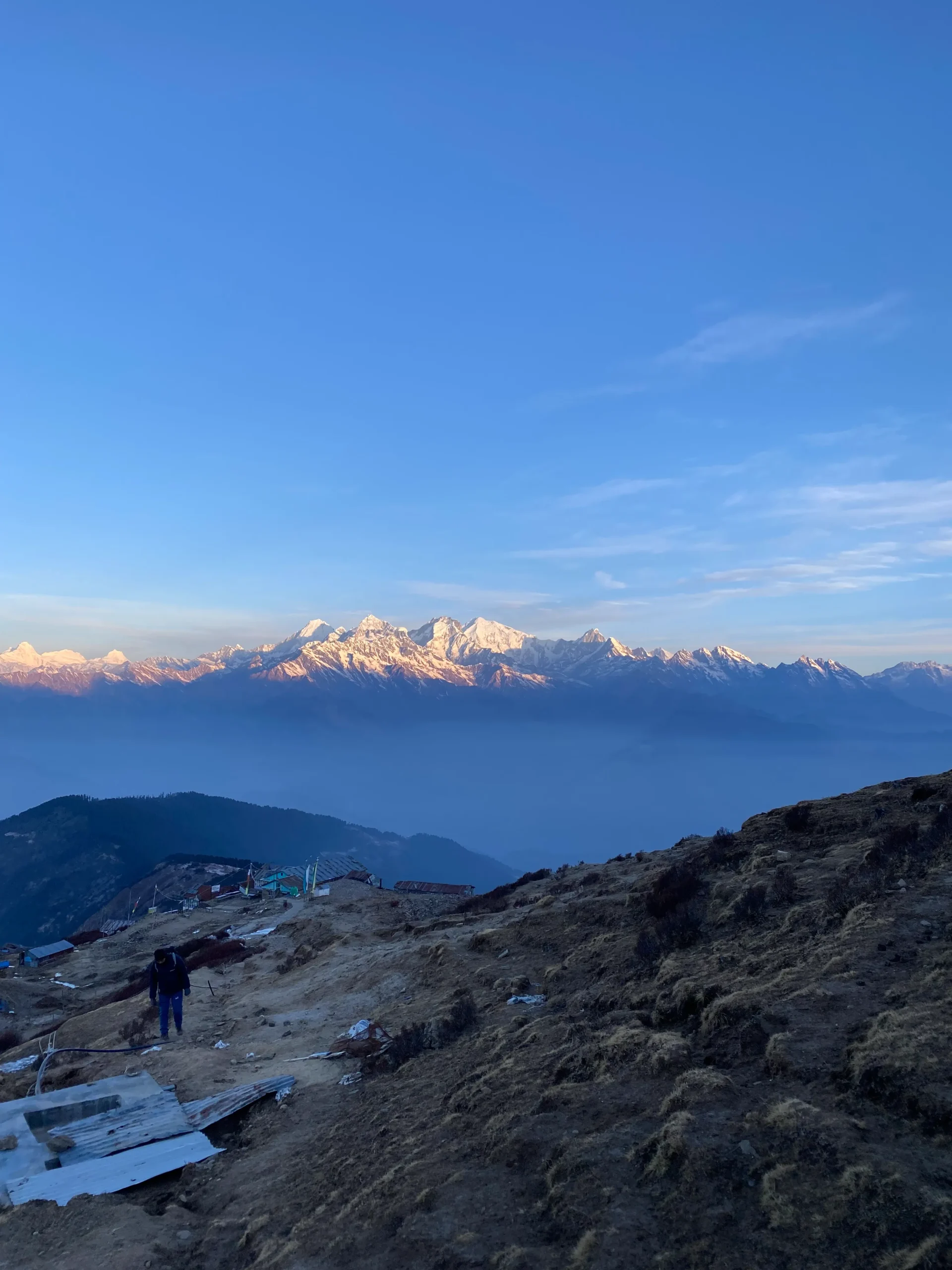
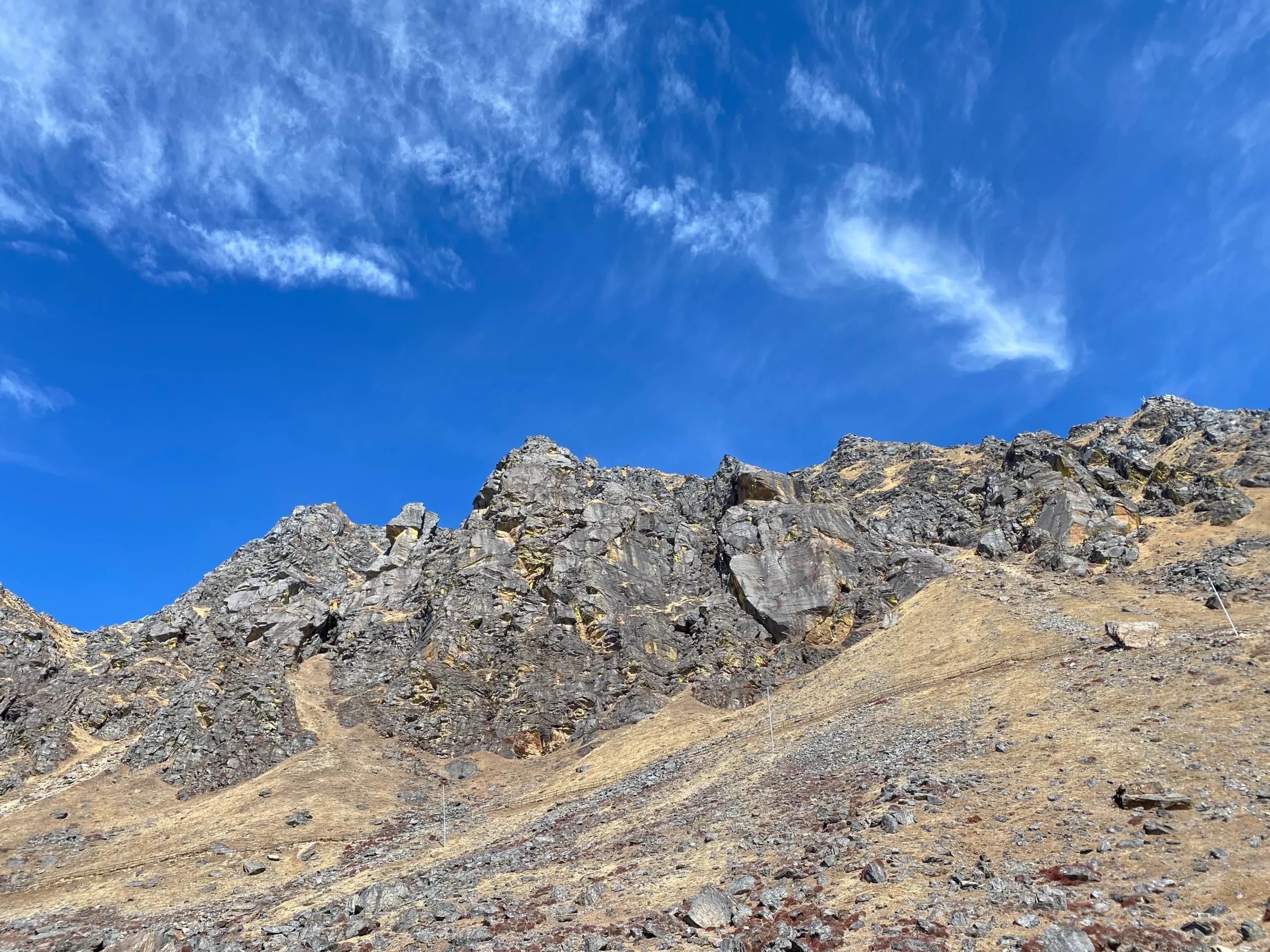
Mountain Views: Near-continuous views of the Langtang range and neighboring peaks accompany much of the route, from the forested lower trail to the high alpine sections near the lake.
Clothing:
Waterproof and windproof jacket and pants
Warm insulated jacket or fleece
Base layers (thermal tops and bottoms)
Trekking pants and shirts (quick-dry preferred)
Hat or cap for sun protection
Warm hat and gloves for cold weather at altitude
Comfortable trekking boots (well broken-in before the trek)
Trekking socks (wool or synthetic)
Casual clothes for evenings at the teahouse
Gear:
Sleeping bag (rated for below-freezing temperatures)
Daypack (20–30 liters)
Water bottles or hydration system (at least 2 liters capacity)
Water purification tablets or filter
Trekking poles (recommended, especially for the Lauribina La descent)
Sunglasses with UV protection
Headlamp with extra batteries
Personal first aid kit and medications (including altitude sickness medication)
Sunscreen and lip balm (high SPF)
Camera or smartphone for photos
Power bank or solar charger
Toiletries (biodegradable soap, toothbrush, toilet paper)
Documents:
Trekking permits (Langtang National Park permit, Rasuwa Restricted Area permit)
Passport and photocopies
Travel insurance details, ideally covering high-altitude trekking and helicopter evacuation
The two best windows are spring (March to May) and autumn (September to November). Both offer stable weather and clear mountain views; spring adds blooming rhododendron forests on the lower trail, while autumn generally gives the sharpest visibility at Lauribina La Pass and Gosaikunda Lake.
The trek’s highest point is Lauribina La Pass at 4,610 m (15,121 ft), crossed on the way to Gosaikunda Lake, which itself sits at 4,380 m — the highest point most trekkers overnight at.
It’s rated moderate to moderately challenging. No technical climbing skills are required, but the route involves steep, rocky ascents and a rapid altitude gain — from Dhunche at 1,950 m to over 4,380 m within a few days — so reasonable fitness and proper acclimatization matter more than trekking experience.
Yes. Because the trail climbs quickly above 3,500 m, Acute Mountain Sickness (AMS) is a genuine risk. Walking at a steady pace, staying well hydrated, and watching for early symptoms like headache, nausea, or dizziness are essential. A guide trained in high-altitude safety can recognize warning signs early and advise descent if needed.
You’ll need a Langtang National Park entry permit and a TIMS (Trekkers’ Information Management System) card. Both are arranged in Kathmandu and require your passport, visa details, and a passport-size photo.
While experienced trekkers can attempt it independently, hiring a licensed guide is strongly recommended, particularly given the altitude, unpredictable mountain weather, and the remoteness of sections like Ghopte and Tharepati where facilities and rescue access are limited.
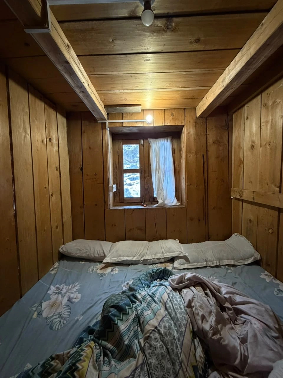
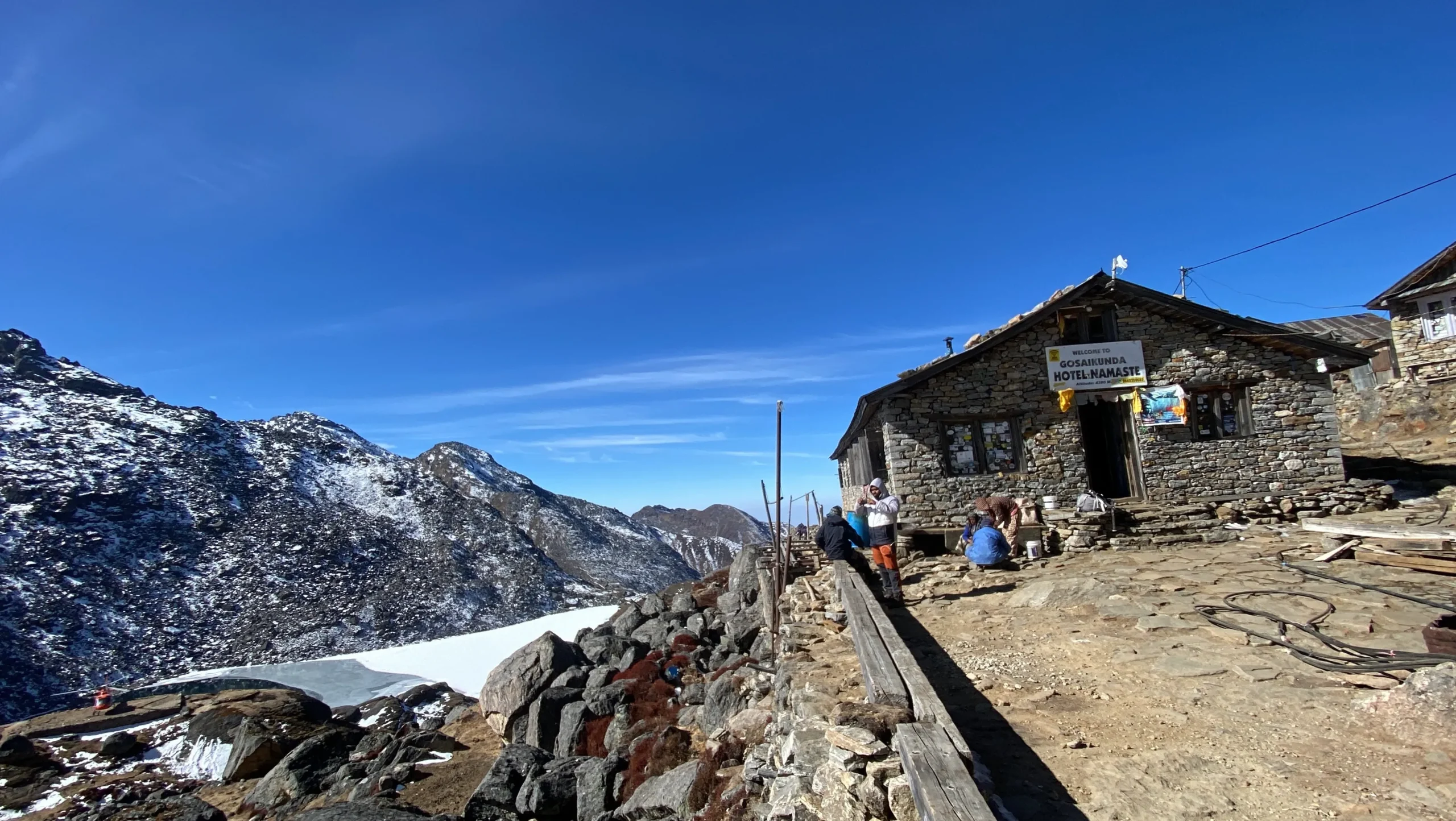
You’ll stay in basic teahouses and guesthouses on a twin-sharing basis throughout the route. Rooms are simple, and facilities become more limited at higher elevations like Gosaikunda and Ghopte, so a warm sleeping bag is essential.
Yes, it’s highly recommended. Choose a policy that covers trekking up to at least 5,000 m and includes emergency helicopter evacuation, since medical facilities along the route are minimal and rescue may require airlift in serious cases.
Coverage is limited and unreliable, especially past Cholangpati. Some teahouses offer paid WiFi, but you shouldn’t rely on consistent connectivity once you’re above Dhunche.
Yes, teahouses serve standard trekking menus with Nepali staples like dal bhat, thukpa, and noodles, along with basic snacks and hot drinks. Prices rise gradually with altitude, and food options narrow the higher you climb.
The trek ends at Sundarijal, on the edge of Shivapuri National Park, from where it’s roughly a 1-hour drive back to central Kathmandu.
Yes, with proper preparation. It’s considered suitable for fit beginners without prior high-altitude experience, provided they train beforehand, pace themselves on ascent days, and trek with a knowledgeable guide who can manage acclimatization and any altitude-related symptoms.
Early morning is ideal, when the water is stillest and the surrounding peaks are usually cloud-free. In winter the lake can partially or fully freeze, while spring and autumn offer the clearest reflections of the Himalaya.
A sleeping bag liner or extra-warm sleeping bag is worth the weight — teahouses near Gosaikunda and Ghopte are cold and basic, with nighttime temperatures regularly dropping well below freezing outside of the summer months.