
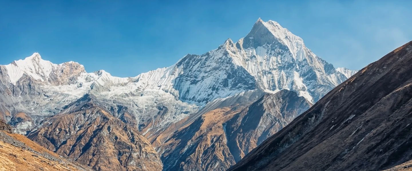
Annapurna trekking is not a single route and not a single difficulty level. It is an entire mountain system ranging from sub-tropical river valleys to high alpine passes above 5,000 meters. If you treat it like one uniform trek, you will misjudge pacing, gear, and altitude risk from day one.
The Annapurna region forces rapid environmental change:
- 800m rice terraces near Pokhara
- 2,500m forest camps with cold nights
- 4,000m glacier basins with thin air
- 5,416m wind-blasted pass crossings
That shift is what breaks inexperienced itineraries. Not distance. Not scenery. Transition speed.
Route Comparison: Which Annapurna Trek Fits You?
Annapurna Base Camp (ABC) – The Amphitheater Approach
The Annapurna Base Camp vs Circuit debate always starts here because ABC is the most accessible high-altitude trek in the region.
Key facts:
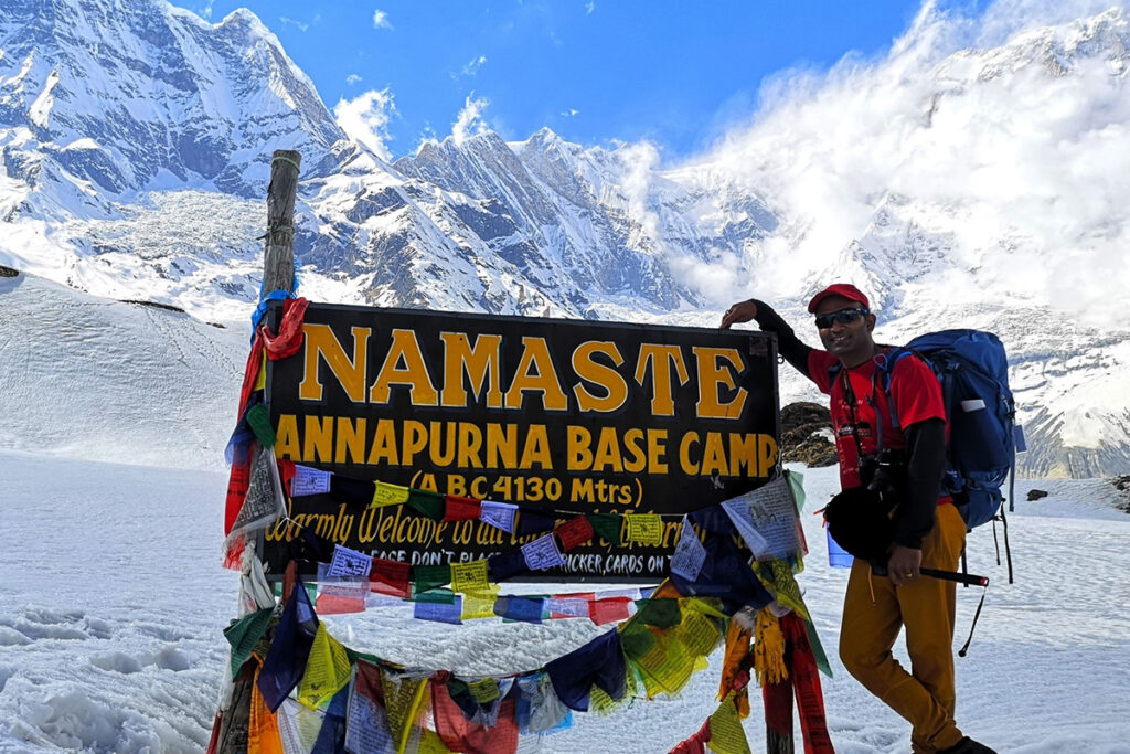
- Max altitude: ~4,130m
- Duration: 7–11 days
- Terrain: stone steps, forest climbs, glacier basin approach
- Final section: cold, enclosed bowl surrounded by peaks
What it feels like:
You walk into a natural stadium of ice and rock. Machapuchare dominates the skyline. At night, cold air settles and temperature drops fast.
Reality check:
- Steep final ascent into base camp basin
- Limited acclimatization time compared to longer routes
- Cold nights start earlier than expected (above 3,000m)
Guide’s Pro-Tip:
ABC is not “easy Annapurna.” It is compressed altitude gain. That compression is what causes fatigue spikes.
The Annapurna Circuit – The High-Pass Challenge (Thorong La)
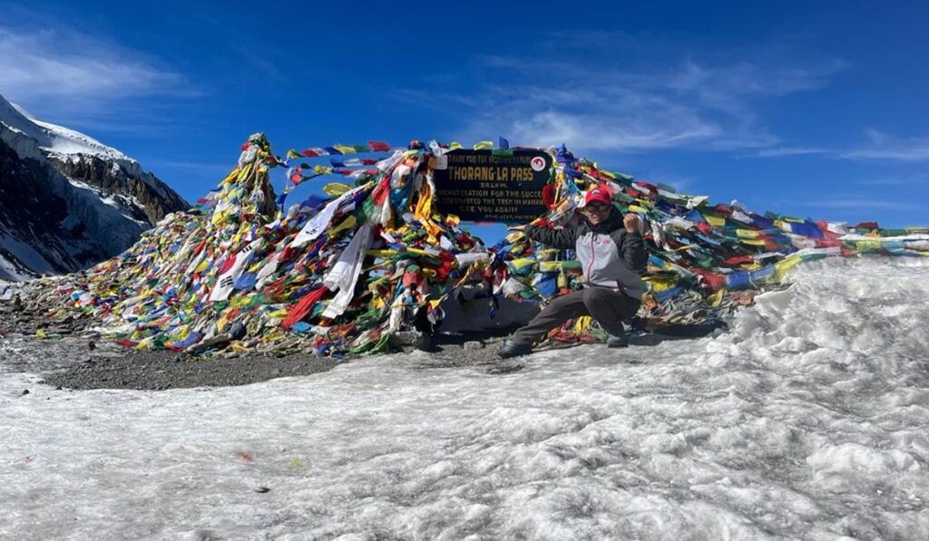
The Annapurna Circuit is a full environmental transition route. You don’t just climb, you cross climate zones and eventually a high mountain pass.
Key facts:
- Max altitude: Thorong La Pass (5,416m)
- Duration: 12–20+ days
- Terrain: river valleys, arid zones, alpine moraine, snow pass
- Major challenge: sustained altitude exposure
What it feels like:
Days of walking through dry wind channels, followed by a slow, oxygen-thin climb toward Thorong La. At the pass, breathing becomes mechanical, not automatic.
Reality check:
- Long exposure above 3,000m
- Weather can close the pass without warning
- Requires strong acclimatization discipline
Guide’s Pro-Tip:
Thorong La is not a hike. It is a timed ascent. Leave late and the wind, cold, and fatigue combine into failure conditions.
Ghorepani Poon Hill – The Introduction to High Altitude
The Ghorepani Poon Hill trek is often treated as a warm-up route, and that is mostly correct.
Key facts:
- Max altitude: ~3,210m
- Duration: 3–5 days
- Terrain: long stone stair climbs through forest villages
- Famous for sunrise views over Annapurna and Dhaulagiri
What it feels like:
Hundreds of stone steps through humid forest. Legs burn more than lungs. At dawn on Poon Hill, cold wind hits exposed viewpoints.
Reality check:
- No serious altitude risk
- Heavy stair stress on knees
- High tourist traffic
Guide’s Pro-Tip:
If Poon Hill exhausts you, the Circuit is not your next step.
Annapurna Trekking Difficulty & Physical Preparation
trekking difficulty Nepal is not a fixed rating in the Annapurna region. It depends on altitude, duration, and recovery time between days.
Simple breakdown:
- Poon Hill: low altitude stress, high stair load
- ABC: moderate altitude stress, moderate technical demand
- Circuit: high altitude exposure, long endurance requirement
Minimum physical standard for Circuit:
- 6–8 hours walking per day capability
- Ability to carry ~10kg pack consistently
- Comfort with 10–15 consecutive trekking days
- Controlled pace at altitude (not speed hiking)
If you cannot walk 6 hours a day with a 10kg pack, you are not ready for the Circuit.
Guide’s Pro-Tip:
Speed is irrelevant. Recovery between days decides whether you finish the route.
Permitting and Bureaucracy: What You Actually Need
The Annapurna Conservation Area permits system is mandatory across all major routes.
Required documents:
- ACAP (Annapurna Conservation Area Permit)
- Entry fee for conservation zone access
- Checked at multiple trail checkpoints
- TIMS Card (Trekkers’ Information Management System)
- Registration for trekking safety tracking
- Required for most regulated routes
Key checkpoints:
- Nayapul entry zone
- Besisahar entry for Circuit
- Random mid-trail verification posts
Failure to carry permits = denied passage at checkpoints.
Guide’s Pro-Tip:
Sort permits in Pokhara before starting. Kathmandu processing adds unnecessary delay risk.
Seasonal Realities: When to Go
best time for Annapurna trekking depends on visibility, trail condition, and crowd tolerance.
Autumn (Sept–Nov)
- Clear skies
- Stable mountain visibility
- Dry trails
- Highest traffic volume
Spring (Mar–May)
- Rhododendron bloom in mid-hills
- Warmer temperatures
- Afternoon cloud build-up
Winter (Dec–Feb)
- Cold nights below freezing
- Snow possible at higher elevations
- Quiet trails, fewer lodges busy
Monsoon (Jun–Aug)
- Slippery trails
- Landslides in lower sections
- Heavy leech presence in forest zones
Leech season is real in lower Annapurna forests. Ignore it and you’ll find out the hard way.
Guide’s Pro-Tip:
October gives the most stable visibility. Spring gives better scenery in forests.
Gear Considerations for the Annapurna Region
Annapurna trekking gear is about layering, not volume.
Clothing system:
- Base layer: moisture control (no cotton)
- Mid layer: fleece or light insulation
- Outer layer: windproof + waterproof shell
- Down jacket: required above 3,000m
Footwear:
- Technical trekking boots (broken-in)
- Grip essential for stone stair sections and icy patches
Critical gear:
- Trekking poles (reduces knee load on descent)
- Headlamp (power cuts common in lodges)
- Water purification system
- Gloves for high altitude sections
Failure pattern:
- Cotton clothing → cold sweat retention → hypothermia risk
- Cheap boots → blisters → forced slow descent
- No layering → inability to adapt to weather swings
Guide’s Pro-Tip:
Your gear system is more important than your fitness level above 3,500m.
FAQ: Answering the Hard Questions
Can I do this solo?
Yes on most Annapurna trekking routes, but with conditions:
- Navigation is easy on main trails
- Risk increases in winter or off-season
- Circuit high pass requires strong judgment
Solo trekking reduces safety margin, not route difficulty.
Is altitude sickness a real threat?
Yes. It is the main risk above 3,000m.
Common symptoms:
- Headache
- Loss of appetite
- Slow movement
- Sleep disruption
Above 4,000m, ignoring symptoms can escalate quickly.
Where do I get water?
- Teahouses along all main routes
- Natural streams (must be treated)
- Bottled water available but expensive at altitude
Always carry purification tablets or filters. Plastic bottles become expensive and environmentally damaging at altitude.
Do I need to book teahouses in advance?
Usually no for ABC and Poon Hill.
For Annapurna Circuit:
- Peak season may require planning at key stops
- Remote villages can fill during high traffic periods
- Flexibility is still the system, not strict booking
Final Field Assessment
Annapurna trekking is not about choosing the “best” route. It is about matching physical capacity, time availability, and altitude tolerance to the correct corridor.
- ABC = compressed altitude climb
- Circuit = long endurance + high pass crossing
- Poon Hill = stair-heavy introduction trek
Wrong selection leads to pacing failure, not technical failure.
Annapurna trekking is a massive logistical puzzle. Nepal Adventure Trail is experienced and well versed with the specific challenges of these routes, from permit processing to acclimatisation programmes. We manage the logistics so you can focus on the trail.