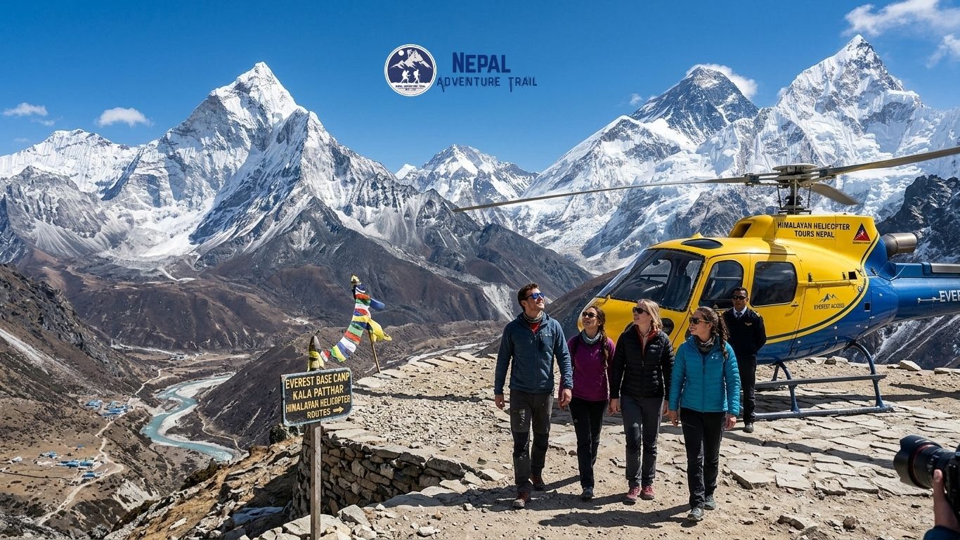
The Himalayan helicopter tour Nepal lifts off, and the mountains starts to unfold in layers. First the terraced hillsides, cut like steps into the slopes, then the brown braids of a river in a deep gorge, then villages shrinking to a scatter of tin roofs. Somewhere past the last forested ridge the air changes. Snow...Read More
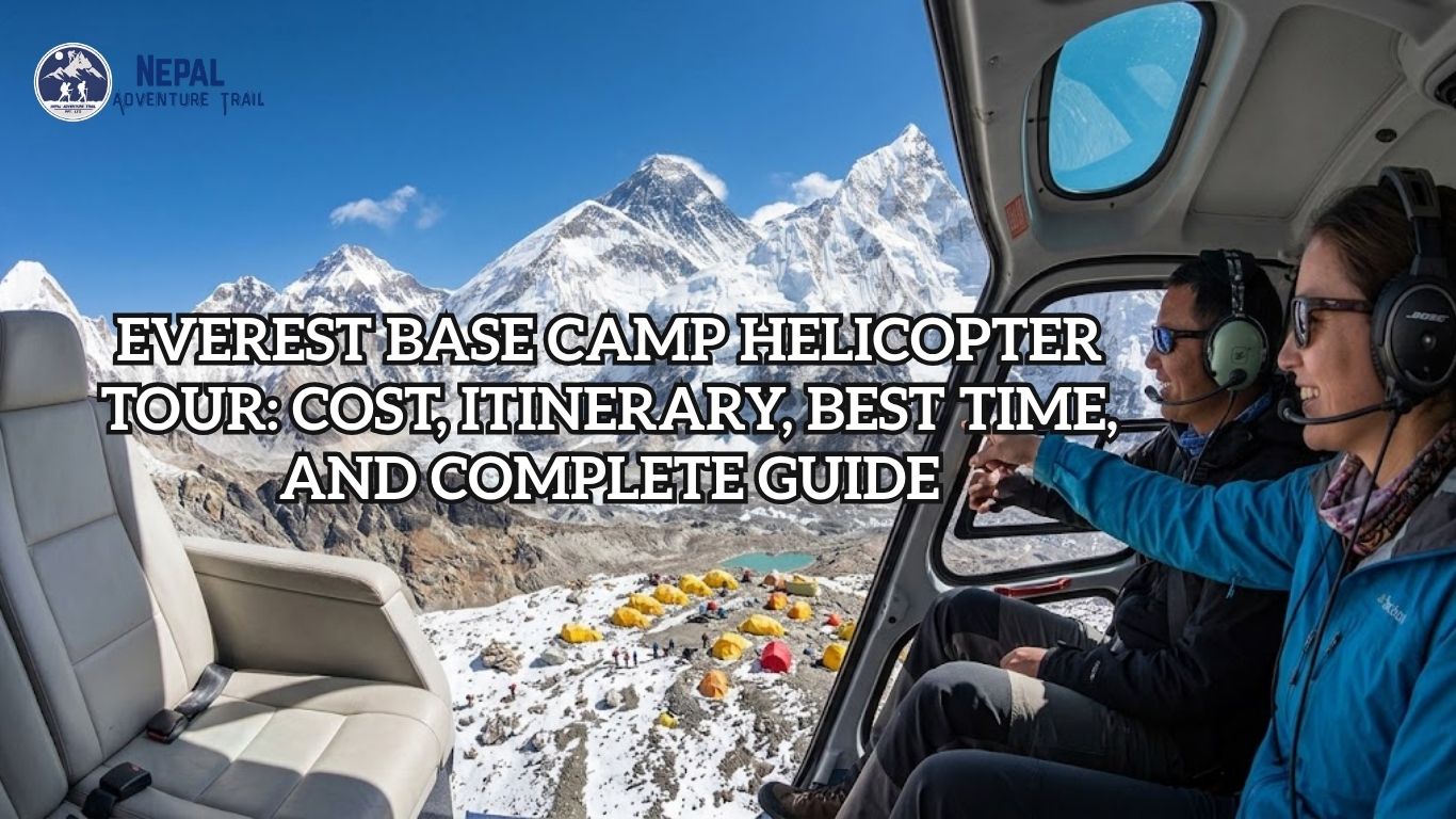
Most people who search for an Everest Base Camp helicopter tour are really asking one question: can I stand near the mountain without spending two weeks walking toward it? The short answer is yes, with a catch that deserves to be understood before you pay a deposit. The tour is named after Base Camp, but...Read More
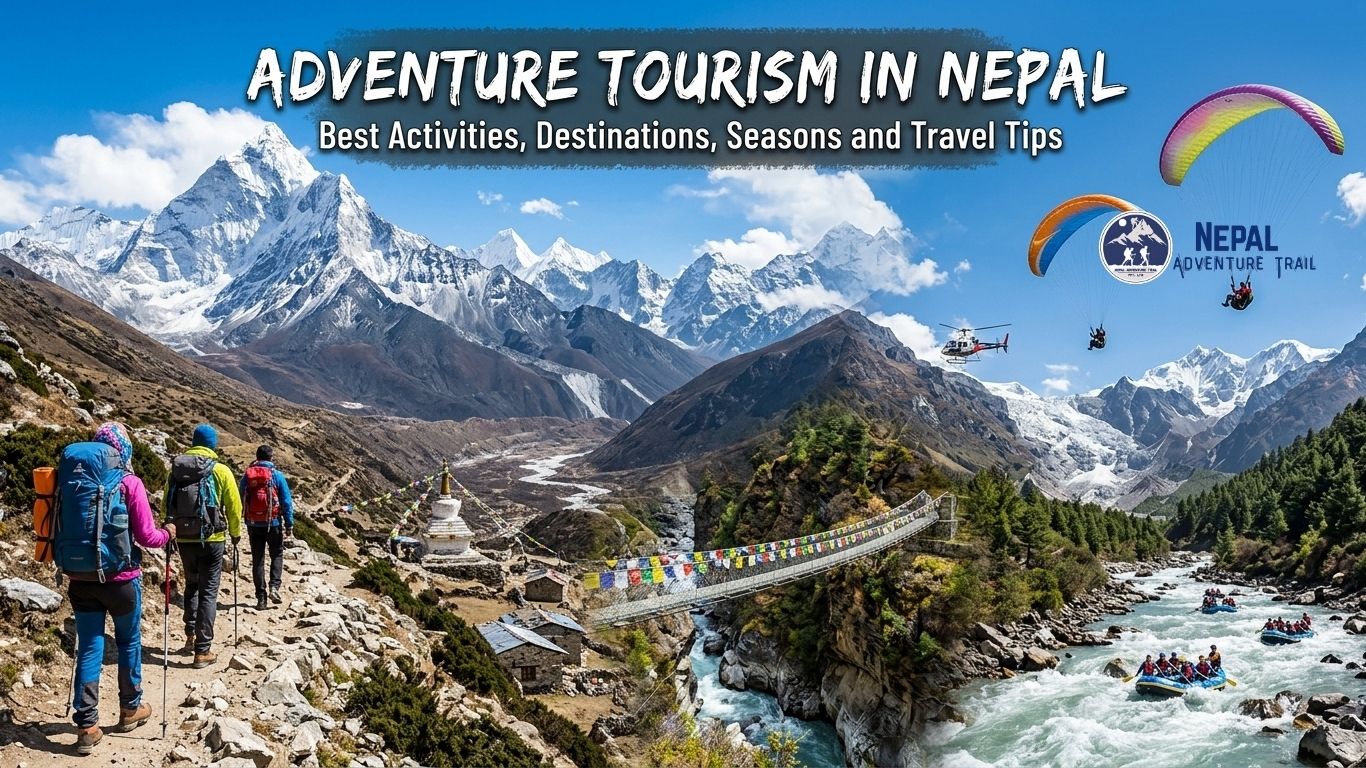
Start at a lakeside café in Pokhara at dawn. Fishing boats slide across Phewa Lake. Behind them, the Annapurna range turns pink, then white. A few hours’ drive east, a river that began as Himalayan meltwater is pushing a raft through grade-four rapids. A day’s flight north-east, a line of trekkers is already climbing toward...Read More
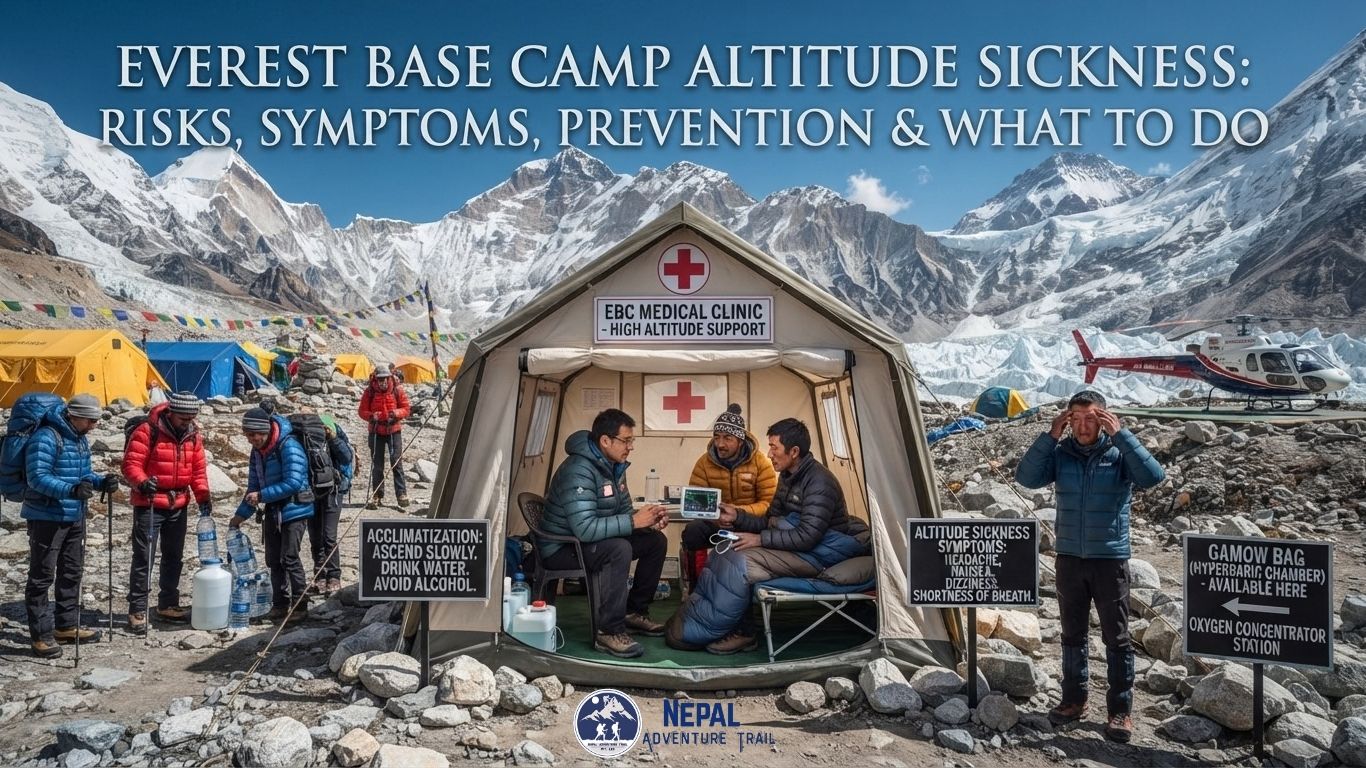
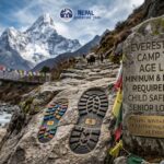
By the third morning in the Khumbu, the trail has changed character. The warm, pine-scented lanes below Lukla are behind you, the air above Namche is noticeably thinner, and the trekkers around you are walking more slowly than they did two days ago. That slowing down is not laziness. It is the first and most...Read More
The measurement came first, and it was done with arithmetic rather than boots. In the 1850s, surveyors working through the Great Trigonometrical Survey of India ran their calculations on a distant snow peak catalogued only as Peak XV. The numbers said it was higher than anything else on Earth. Nobody had climbed it. Nobody had...Read More
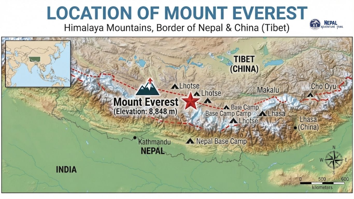
The Everest does not belong to one side of a map. It rises on the Himalayan frontier between Nepal and the Tibet Autonomous Region of China, and the international boundary passes over its summit. Nepal holds the southern approach, with its sherpa villages, glaciers, and a walking trail that starts at Lukla. Tibet holds the...Read More
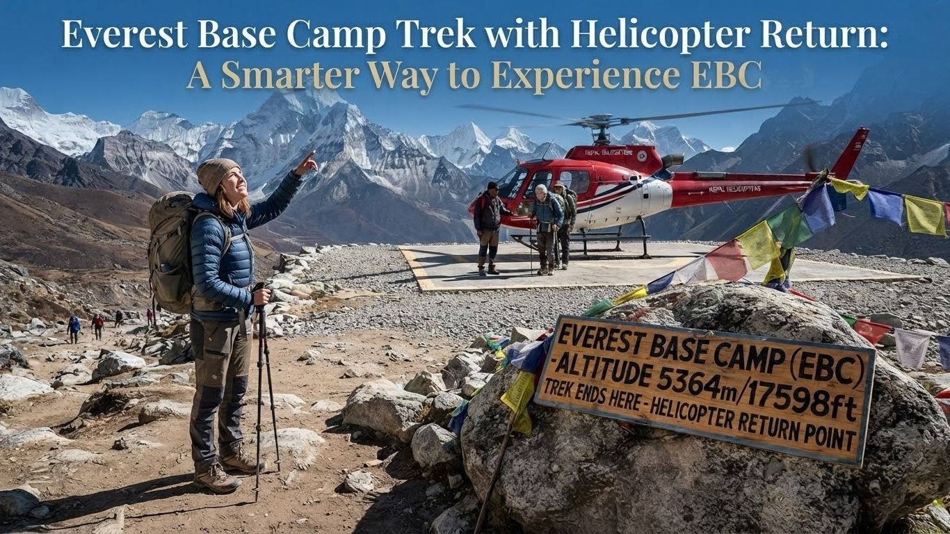
The route begins on foot. A trail climbs from Lukla through pine and rhododendron, crosses suspension bridges above the Dudh Koshi, and rises past Sherpa villages and prayer-flag ridges into the glacier-carved upper Khumbu. Days are spent walking slowly and sleeping higher. At the end, instead of retracing the trail for several more days, you...Read More
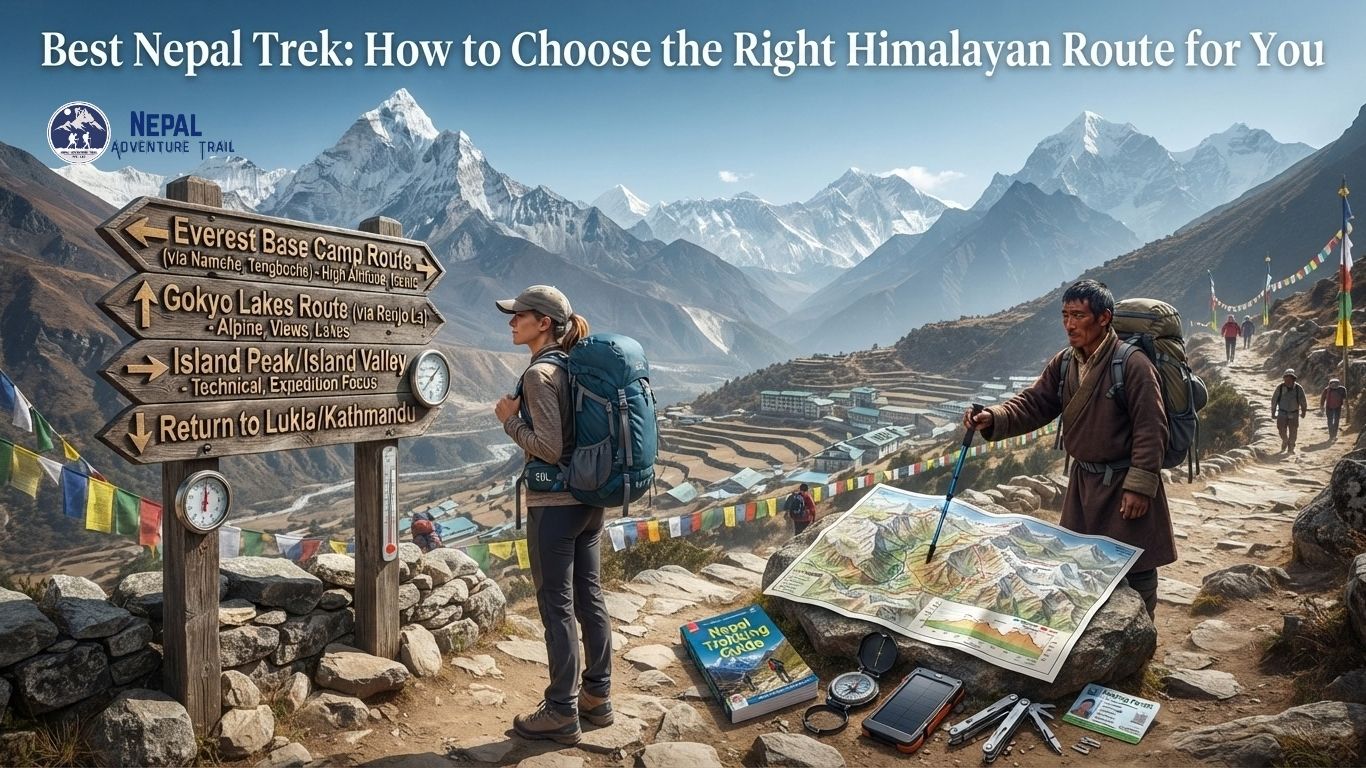
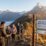
Ask ten guides for the best Nepal trek and you will hear five answers. The famous route is not always the right one. Everest Base Camp carries the biggest name, yet a trekker with eight days, a modest fitness base and a love of forest might be happier on Mardi Himal. Someone craving empty trails...Read More
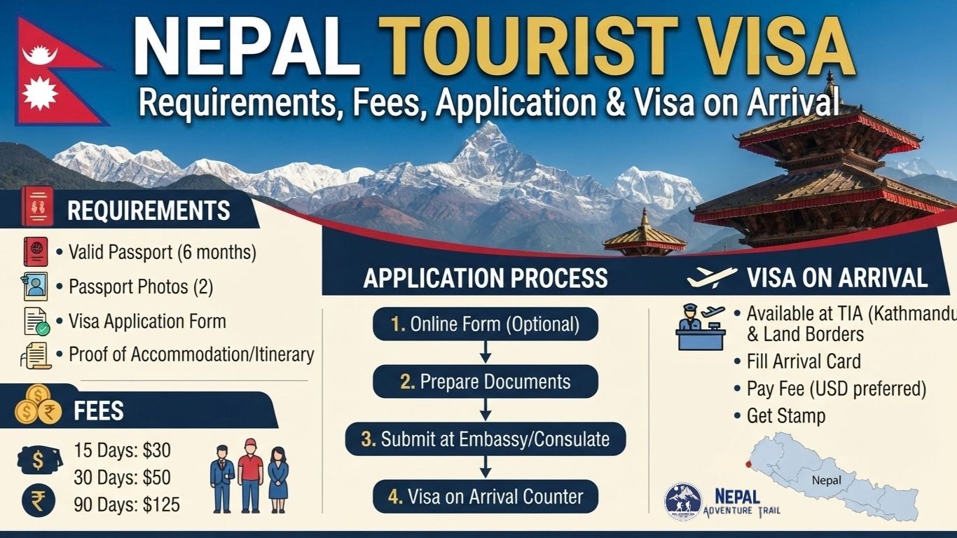
Nepal’s Himalayan landscapes, heritage cities, trekking routes and pilgrimage sites draw travelers from around the world, but the journey begins with a practical step: understanding how entry works. The Nepal tourist visa is the permission most visitors need, and for many nationalities it can be obtained on arrival, with the main steps being an application...Read More
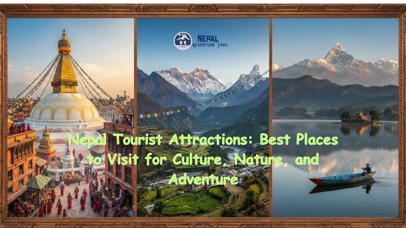
In a few hundred kilometres, Nepal moves from subtropical jungle to the highest mountains on earth. Rhinos graze on river plains within a day’s travel of snow peaks. A medieval brick city sits a short drive from a lakeside town where paragliders drift over water. The Buddha’s birthplace lies in the southern lowlands, while Sherpa...Read More